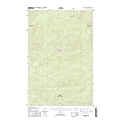
2017 Map of Mount Olson
USGS Topo · Published 2017About this map
Mount Olson stands as the central landmark of this high-elevation terrain within the Olympic National Park, where the boundary between Jefferson and Mason Counties runs through the northern reaches. The landscape is defined by a dense network of numbered and named drainages, including the sequence of Six Stream, Seven Stream, and Eight Stream which flow toward the North Fork Skokomish River. To the south, the Olympic National Forest encompasses Wonder Mtn and the upper reaches of the Upper South Fork Skokomish.
Find a feature on this map
30 named features on this map. Tap any name to fly to it.
Don’t see what you’re looking for? This feature index may not catch every label — zoom into the map to look around manually.
Map Details
Editions of this 2017 Mount Olson Map
This is the sole edition of this map. No revisions or reprints were ever made.
Other maps of this area

1921 · Satsop
USGS Topo · 1:62,500

1938 · Mt Constance
USGS Topo · 1:125,000

1947 · Mt. Steel
USGS Topo · 1:62,500

1947 · Mt Christie
USGS Topo · 1:62,500

1950 · Mt Christie
USGS Topo · 1:62,500

1950 · Mt. Steel
USGS Topo · 1:62,500

1953 · Mt Tebo
USGS Topo · 1:62,500

1955 · Grisdale
USGS Topo · 1:62,500

1958 · Seattle
USGS Topo · 1:250,000

1962 · Seattle
USGS Topo · 1:250,000