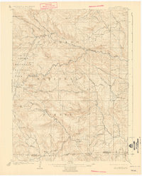
1907 Map of Mount Olympus
USGS Topo · Published 1927About this map
The eastern edges of Rocky Mountain National Park and Estes Park are documented here just after the turn of the century, following surveys led by Frank Tweedy. The landscape is a network of early ranching and hospitality outposts, such as the Rustic Hotel and Dunraven Ranch, situated along the winding courses of the Thompson River and Little Thompson River. These early settlements and mountain lodgings like Crocker and Tallent reflect the transition of the Front Range from a frontier of isolated homesteads to a nascent destination for high-altitude tourism.
Find a feature on this map
66 named features on this map. Tap any name to fly to it.
Don’t see what you’re looking for? This feature index may not catch every label — zoom into the map to look around manually.
Map Details
Editions of this 1907 Mount Olympus Map
4 editions found
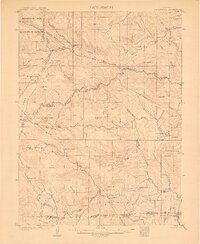
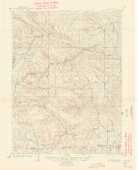
Other maps of this area

1902 · Boulder
USGS Topo · 1:62,500

1904 · Niwot
USGS Topo · 1:62,500

1904 · Boulder
USGS Topo · 1:62,500

1905 · Mount Olympus
USGS Topo · 1:62,500

1906 · Loveland
USGS Topo · 1:62,500

1906 · Fort Collins
USGS Topo · 1:62,500

1907 · Mount Olympus
USGS Topo · 1:62,500

1907 · Livermore
USGS Topo · 1:125,000

1908 · Loveland
USGS Topo · 1:62,500

1908 · Fort Collins
USGS Topo · 1:62,500