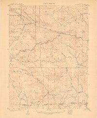
1907 Map of Mt. Olympus
USGS Topo · Published 1907About this map
The Big Thompson River and its North Fork dominate this 1905 landscape, revealing the early 20th-century development of the Colorado Front Range. High-altitude tourism and ranching are clearly visible, anchored by the Rustic Hotel and seasonal settlements like Loveland Heights and Tallent. The presence of Dunraven Park and Dunraven Ranch points to the early influence of the Earl of Dunraven in the region, while other family operations such as Bryants Ranch, Miners Ranch, and Pflum's Ranch dot the valleys between Storm Mtn and Mt Olympus. To the southeast, the small community of Noland sits near the Larimer Co Boulder Co boundary. This survey captures a specific moment when the Medicine Bow Forest Reserve and parts of Estes Park were transitioning from remote ranching outposts to early mountain retreats.
Find a feature on this map
66 named features on this map. Tap any name to fly to it.
Don’t see what you’re looking for? This feature index may not catch every label — zoom into the map to look around manually.
Map Details
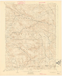
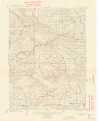
Editions of this 1907 Mt. Olympus Map
4 editions found
Other maps of this area

1902 · Boulder
USGS Topo · 1:62,500

1904 · Niwot
USGS Topo · 1:62,500

1904 · Boulder
USGS Topo · 1:62,500

1905 · Mount Olympus
USGS Topo · 1:62,500

1906 · Loveland
USGS Topo · 1:62,500

1906 · Fort Collins
USGS Topo · 1:62,500

1907 · Mount Olympus
USGS Topo · 1:62,500

1907 · Livermore
USGS Topo · 1:125,000

1908 · Loveland
USGS Topo · 1:62,500

1908 · Fort Collins
USGS Topo · 1:62,500