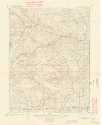
1907 Map of Mount Olympus
USGS Topo · Published 1946About this map
The Big Thompson River and its labyrinthine drainage system define this 1905 survey of the northern Front Range. Surveyed by Frank Tweedy, the landscape reveals an early 20th-century economy transitioning from mountain ranching to early alpine tourism. Notable family holdings and early settlements like Dunraven Ranch, Plum's Ranch, and Meadowdale Ranch are scattered across the high parks and valleys, while the Rustic Hotel and Lovelind Heights suggest the area's emerging role as a destination. The terrain is dominated by the massif of Mt Olympus and the broad, high-elevation flats of Rattlesnake Park and Pierson Park. The southern portion of the map captures the transition across the Larimer Co Boulder Co boundary line, where the topography descends toward the eastern foothills near Noland and Miners Ranch.
Find a feature on this map
60 named features on this map. Tap any name to fly to it.
Don’t see what you’re looking for? This feature index may not catch every label — zoom into the map to look around manually.
Map Details
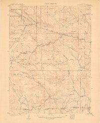
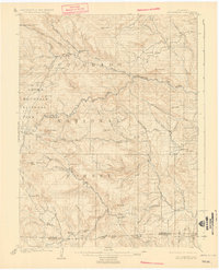
Editions of this 1907 Mount Olympus Map
4 editions found
Other maps of this area

1902 · Boulder
USGS Topo · 1:62,500

1904 · Niwot
USGS Topo · 1:62,500

1904 · Boulder
USGS Topo · 1:62,500

1905 · Mount Olympus
USGS Topo · 1:62,500

1906 · Loveland
USGS Topo · 1:62,500

1906 · Fort Collins
USGS Topo · 1:62,500

1907 · Mount Olympus
USGS Topo · 1:62,500

1907 · Livermore
USGS Topo · 1:125,000

1908 · Loveland
USGS Topo · 1:62,500

1908 · Fort Collins
USGS Topo · 1:62,500