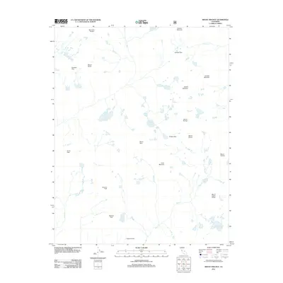
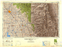
2012 Map of Mount Pinchot
USGS Topo · Published 2012About this map
Mount Pinchot stands as the central landmark in this high-altitude section of the Sierra Nevada, where glaciated basins and sharp granite summits define the topography. The map illustrates a landscape of significant elevation changes, with major drainage systems like Woods Cr and Taboose Cr carving through the terrain. High-country travel is marked by key traverses such as Taboose Pass and Pinchot Pass, providing a window into the historical routes used to navigate these steep divides. Numerous alpine water bodies, including Lake Marjorie and Bench Lake, are scattered throughout the quadrangle, reflecting the complex hydrology of the region. Distinctive geological formations like the Castle Domes and Vennacher Needle offer specific points of interest for those studying the physical geography of Fresno County.
Find a feature on this map
27 named features on this map. Tap any name to fly to it.
Don’t see what you’re looking for? This feature index may not catch every label — zoom into the map to look around manually.
Map Details
Editions of this 2012 Mount Pinchot Map
This is the sole edition of this map. No revisions or reprints were ever made.
Other maps of this area
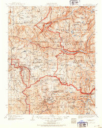
1903 · Tehipite
USGS Topo · 1:125,000
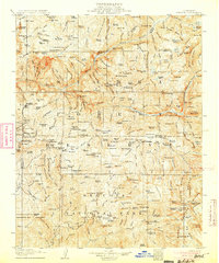
1905 · Tehipite
USGS Topo · 1:125,000
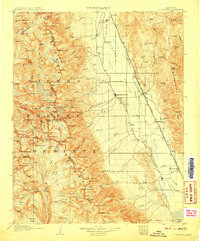
1907 · Mt. Whitney
USGS Topo · 1:125,000
1912 · Mt. Goddard
USGS Topo · 1:125,000
1913 · Bishop
USGS Topo · 1:125,000
1919 · Mt. Whitney
USGS Topo · 1:125,000
1937 · Mt. Whitney
USGS Topo · 1:125,000

1947 · Mariposa
USGS Topo · 1:250,000
1948 · Fresno
USGS Topo · 1:250,000

1948 · Mariposa
USGS Topo · 1:250,000