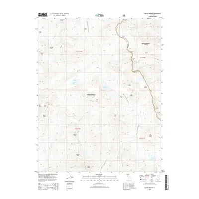
2015 Map of Mount Pinchot
USGS Topo · Published 2015About this map
Pacific Crest National Scenic Trail winds through a high-altitude wilderness on this 2015 survey, tracing a path across the divide between Kings Canyon National Park and Inyo National Forest. The map is dominated by the jagged peaks of the Sierra Nevada, featuring prominent landmarks like Mt Pinchot, Mt Ruskin, and Mt Ickes. These summits rise above high basins and glacial lakes, including Lake Marjorie and Bench Lake, which feed the drainages of Woods Cr and the White Fork.
Find a feature on this map
43 named features on this map. Tap any name to fly to it.
Don’t see what you’re looking for? This feature index may not catch every label — zoom into the map to look around manually.
Map Details
Editions of this 2015 Mount Pinchot Map
This is the sole edition of this map. No revisions or reprints were ever made.
Other maps of this area
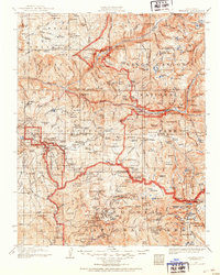
1903 · Tehipite
USGS Topo · 1:125,000
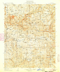
1905 · Tehipite
USGS Topo · 1:125,000
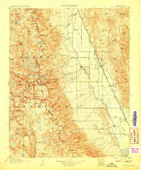
1907 · Mt. Whitney
USGS Topo · 1:125,000
1912 · Mt. Goddard
USGS Topo · 1:125,000
1913 · Bishop
USGS Topo · 1:125,000
1919 · Mt. Whitney
USGS Topo · 1:125,000
1937 · Mt. Whitney
USGS Topo · 1:125,000

1947 · Mariposa
USGS Topo · 1:250,000
1948 · Fresno
USGS Topo · 1:250,000

1948 · Mariposa
USGS Topo · 1:250,000