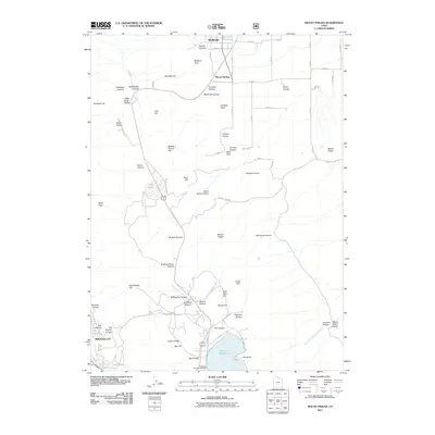
2011 Map of Mount Pisgah
USGS Topo · Published 2011About this map
Wellsville and Mount Sterling anchor the northern reaches of this 2011 terrain study, where the northern Wasatch Range transitions toward the Cache Valley. The landscape is defined by its dramatic verticality, rising from the residential streets of Brigham City in the southwest to the prominence of Mount Pisgah and the high passage at Sardine Summit. The region's water management is evident in the presence of Wellsville Reservoir and Mantua Reservoir, while smaller features like Dry Lake and numerous hollows such as Silver Mine Hollow and South Grove Hollow suggest a history of local resource extraction and seasonal grazing. The Mount Sterling Cemetery and Mountain View Campground serve as modern and historical markers of community and recreation, set against a backdrop of complex geology including Watt Glen and the rocky stretches of Baxter Ridge.
Find a feature on this map
59 named features on this map. Tap any name to fly to it.
Don’t see what you’re looking for? This feature index may not catch every label — zoom into the map to look around manually.
Map Details
Editions of this 2011 Mount Pisgah Map
This is the sole edition of this map. No revisions or reprints were ever made.
Other maps of this area

1914 · Logan
USGS Topo · 1:125,000

1916 · Logan
USGS Topo · 1:125,000

1954 · Ogden
USGS Topo · 1:250,000

1954 · Brigham City
USGS Topo · 1:250,000

1955 · Paradise
USGS Topo · 1:24,000

1955 · Mantua
USGS Topo · 1:24,000

1955 · James Peak
USGS Topo · 1:24,000

1955 · Willard
USGS Topo · 1:24,000

1955 · Mount Pisgah
USGS Topo · 1:24,000

1955 · Brigham City
USGS Topo · 1:24,000