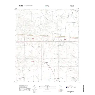
2021 Map of Mount Pleasant
USGS Topo · Published 2021About this map
The Georgia Florida state line bisects this landscape, separating Decatur County and Gadsden County along a surveyed boundary that cuts through rural timberlands and agriculture. The settlement of Hannatown sits just north of this line, characterized by its Old Post Office Loop and the Hannatown Cem. To the south, the terrain is defined by the headwaters of several drainages, including the N Mosquito Cr and S Mosquito Cr, which feed into the larger hydrological network of the Florida Panhandle.
Find a feature on this map
81 named features on this map. Tap any name to fly to it.
Don’t see what you’re looking for? This feature index may not catch every label — zoom into the map to look around manually.
Map Details
Editions of this 2021 Mount Pleasant Map
This is the sole edition of this map. No revisions or reprints were ever made.
Other maps of this area

1954 · Tallahassee
USGS Topo · 1:250,000

1955 · Reynoldsville
USGS Topo · 1:24,000

1955 · Sycamore
USGS Topo · 1:24,000

1955 · Chattahoochee
USGS Topo · 1:24,000

1955 · Bainbridge
USGS Topo · 1:62,500

1955 · Mt Pleasant
USGS Topo · 1:24,000

1956 · Dogtown
USGS Topo · 1:24,000

1959 · Tallahassee
USGS Topo · 1:250,000

1959 · Gretna
USGS Topo · 1:24,000

1959 · Quincy
USGS Topo · 1:24,000