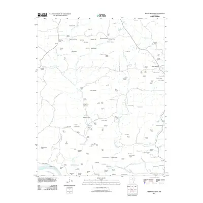
2011 Map of Mount Pleasant
USGS Topo · Published 2011About this map
The settlement of Mount Pleasant anchors the northeastern portion of this Arkansas landscape, characterized by a complex network of mineral extraction and family-named hollows. Prospecting sites like the Klondike Mine and McConnell Mine are scattered throughout the hills, reflecting the region's history of manganese and mineral exploration. The terrain is defined by the drainage of East Lafferty Creek and West Lafferty Creek, which carve through features such as Stillhouse Hollow and Pine Mountain before reaching the White River at the southern boundary near Crocker.
Find a feature on this map
151 named features on this map. Tap any name to fly to it.
Don’t see what you’re looking for? This feature index may not catch every label — zoom into the map to look around manually.
Map Details
Editions of this 2011 Mount Pleasant Map
This is the sole edition of this map. No revisions or reprints were ever made.
Other maps of this area

1890 · Batesville
USGS Topo · 1:125,000

1891 · Batesville
USGS Topo · 1:125,000

1942 · Bethesda
USGS Topo · 1:24,000

1942 · Batesville
USGS Topo · 1:31,680

1942 · Mt Pleasant
USGS Topo · 1:31,680

1943 · Sandtown
USGS Topo · 1:24,000

1943 · Batesville
USGS Topo · 1:24,000

1951 · Melbourne
USGS Topo · 1:62,500

1953 · Memphis
USGS Topo · 1:250,000

1956 · Memphis
USGS Topo · 1:250,000