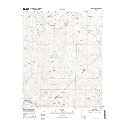
2014 Map of Mount Pleasant
USGS Topo · Published 2014About this map
Mount Pleasant and Cushman serve as the primary hubs in this section of north-central Arkansas, where the landscape is defined by the complex drainage of W Lafferty Cr and E Lafferty Cr. The topography is a series of narrow hollows and prominent ridges such as Pine Mtn and Bat Knob Hill, creating a fractured settlement pattern of small communities like Lafferty, Gid, and Crocker.
Find a feature on this map
117 named features on this map. Tap any name to fly to it.
Don’t see what you’re looking for? This feature index may not catch every label — zoom into the map to look around manually.
Map Details
Editions of this 2014 Mount Pleasant Map
This is the sole edition of this map. No revisions or reprints were ever made.
Other maps of this area

1890 · Batesville
USGS Topo · 1:125,000

1891 · Batesville
USGS Topo · 1:125,000

1942 · Bethesda
USGS Topo · 1:24,000

1942 · Batesville
USGS Topo · 1:31,680

1942 · Mt Pleasant
USGS Topo · 1:31,680

1943 · Sandtown
USGS Topo · 1:24,000

1943 · Batesville
USGS Topo · 1:24,000

1951 · Melbourne
USGS Topo · 1:62,500

1953 · Memphis
USGS Topo · 1:250,000

1956 · Memphis
USGS Topo · 1:250,000