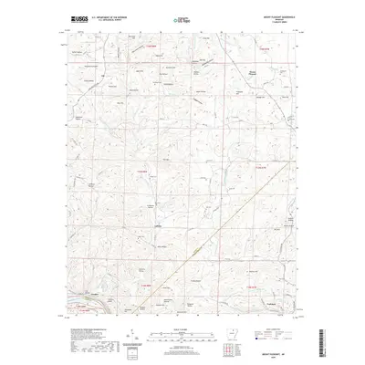
2020 Map of Mount Pleasant
USGS Topo · Published 2020About this map
Mount Pleasant serves as a primary highland settlement in this corner of the Ozark foothills, where the landscape is defined by a dense network of hollows and ridges. The terrain drops sharply toward the southwest, where the White River carves its path past Painters Bluff and the small settlement of Crocker. This region is notable for its intricate drainage system, with waterways like W Lafferty Cr and E Lafferty Cr feeding into the larger river valley, creating a rugged environment that has historically influenced the placement of homes and cemeteries.
Find a feature on this map
110 named features on this map. Tap any name to fly to it.
Don’t see what you’re looking for? This feature index may not catch every label — zoom into the map to look around manually.
Map Details
Editions of this 2020 Mount Pleasant Map
This is the sole edition of this map. No revisions or reprints were ever made.
Other maps of this area

1890 · Batesville
USGS Topo · 1:125,000

1891 · Batesville
USGS Topo · 1:125,000

1942 · Bethesda
USGS Topo · 1:24,000

1942 · Batesville
USGS Topo · 1:31,680

1942 · Mt Pleasant
USGS Topo · 1:31,680

1943 · Sandtown
USGS Topo · 1:24,000

1943 · Batesville
USGS Topo · 1:24,000

1951 · Melbourne
USGS Topo · 1:62,500

1953 · Memphis
USGS Topo · 1:250,000

1956 · Memphis
USGS Topo · 1:250,000