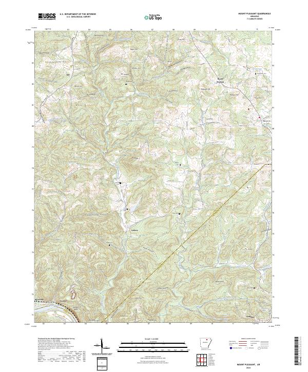
2024 Map of Mount Pleasant
USGS Topo · Published 2024About this map
Mount Pleasant serves as a central hub for this portion of the Ozark foothills, where the landscape is defined by the winding drainages of West Lafferty Creek and Macedonia Creek. The map documents a rural network of small communities and family burial grounds that trace the settlement history of Izard and Independence counties. Many of these locations, such as Lafferty and Gid, are oriented around the high ridges and deep hollows that characterize the local terrain.
Find a feature on this map
112 named features on this map. Tap any name to fly to it.
Don’t see what you’re looking for? This feature index may not catch every label — zoom into the map to look around manually.
Map Details
Editions of this 2024 Mount Pleasant Map
This is the sole edition of this map. No revisions or reprints were ever made.
Other maps of this area

1890 · Batesville
USGS Topo · 1:125,000

1891 · Batesville
USGS Topo · 1:125,000

1942 · Bethesda
USGS Topo · 1:24,000

1942 · Batesville
USGS Topo · 1:31,680

1942 · Mt Pleasant
USGS Topo · 1:31,680

1943 · Sandtown
USGS Topo · 1:24,000

1943 · Batesville
USGS Topo · 1:24,000

1951 · Melbourne
USGS Topo · 1:62,500

1953 · Memphis
USGS Topo · 1:250,000

1956 · Memphis
USGS Topo · 1:250,000