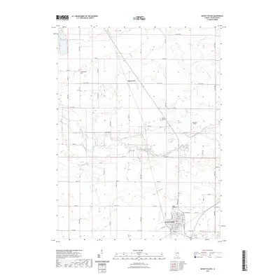
2021 Map of Mount Pulaski
USGS Topo · Published 2021About this map
Mount Pulaski serves as the primary hub in this portion of Logan County, positioned on elevated ground south of the wide floodplain of Salt Creek. The surrounding landscape is defined by the grid of rural roads and the drainage patterns of Deer Creek and its tributaries, reflecting a century of agricultural development. Small settlements like Chestervale and the presence of numerous burial grounds, including Mount Pulaski Cemetery, Downing Cemetery, and Bowers Templeman Cemetery, offer significant points of interest for genealogists and local historians tracing family lineages in the region. To the northwest, Lockenauer Hill rises above the prairie, while the Miller RLA Airport provides a modern navigational landmark amidst the established section lines of this central Illinois territory.
Find a feature on this map
68 named features on this map. Tap any name to fly to it.
Don’t see what you’re looking for? This feature index may not catch every label — zoom into the map to look around manually.
Map Details
Editions of this 2021 Mount Pulaski Map
This is the sole edition of this map. No revisions or reprints were ever made.
Other maps of this area

1911 · Lincoln
USGS Topo · 1:62,500

1913 · Lincoln
USGS Topo · 1:62,500

1954 · Niantic
USGS Topo · 1:62,500

1954 · Mechanicsburg
USGS Topo · 1:62,500

1957 · Kenney
USGS Topo · 1:62,500

1958 · Peoria
USGS Topo · 1:250,000

1958 · Decatur
USGS Topo · 1:250,000

1961 · Peoria
USGS Topo · 1:250,000

1961 · Decatur
USGS Topo · 1:250,000

1963 · Peoria
USGS Topo · 1:250,000