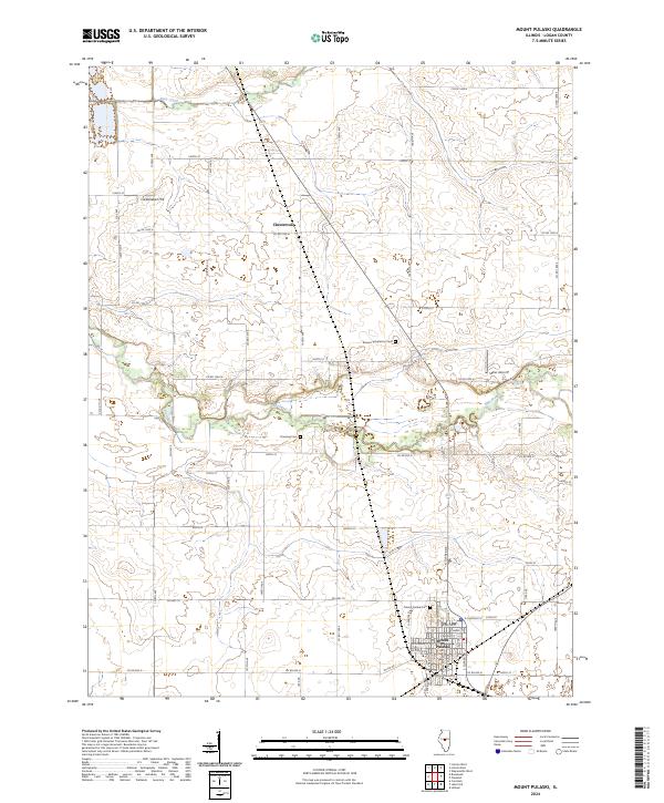
2024 Map of Mount Pulaski
USGS Topo · Published 2024About this map
Mount Pulaski serves as the focal point of this Logan County landscape, situated atop a notable rise overlooking the surrounding Illinois prairie. The town's grid is detailed with residential streets such as E Chestnut St and W Morgan St, extending toward the Mount Pulaski Cem on its northern edge. To the north, the small settlement of Chestervale sits at the junction of several county roads, illustrating the area's rural development patterns.
Find a feature on this map
37 named features on this map. Tap any name to fly to it.
Don’t see what you’re looking for? This feature index may not catch every label — zoom into the map to look around manually.
Map Details
Editions of this 2024 Mount Pulaski Map
This is the sole edition of this map. No revisions or reprints were ever made.
Other maps of this area

1911 · Lincoln
USGS Topo · 1:62,500

1913 · Lincoln
USGS Topo · 1:62,500

1954 · Niantic
USGS Topo · 1:62,500

1954 · Mechanicsburg
USGS Topo · 1:62,500

1957 · Kenney
USGS Topo · 1:62,500

1958 · Peoria
USGS Topo · 1:250,000

1958 · Decatur
USGS Topo · 1:250,000

1961 · Peoria
USGS Topo · 1:250,000

1961 · Decatur
USGS Topo · 1:250,000

1963 · Peoria
USGS Topo · 1:250,000