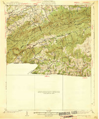
1939 Map of Mount Rogers
USGS Topo · Published 1939About this map
The Norfolk and Western Railway winds through the high-elevation gaps of this 1930s borderland where Virginia, Tennessee, and North Carolina meet. This era in the Jefferson National Forest is defined by the proximity of remote mountain settlements to early industrial transport, with communities like Konnarock and Taylors Valley linked by rail and the winding Lee Highway. The map captures a moment when rural educational and spiritual centers served these peaks, including the Konnarock Girls Sch and several country churches like Lebanon Ch.
Find a feature on this map
98 named features on this map. Tap any name to fly to it.
Don’t see what you’re looking for? This feature index may not catch every label — zoom into the map to look around manually.
Map Details
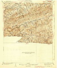
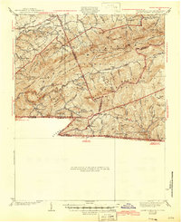
Editions of this 1939 Mount Rogers Map
3 editions found
Other maps of this area

1889 · Wytheville
USGS Topo · 1:125,000

1889 · Wilkesboro
USGS Topo · 1:125,000

1891 · Abingdon
USGS Topo · 1:125,000

1891 · Wilkesboro
USGS Topo · 1:125,000

1892 · Wytheville
USGS Topo · 1:125,000

1893 · Cranberry
USGS Topo · 1:125,000

1894 · Abingdon
USGS Topo · 1:125,000

1895 · Cranberry
USGS Topo · 1:125,000

1899 · Cranberry
USGS Topo · 1:125,000

1902 · Cranberry
USGS Topo · 1:125,000