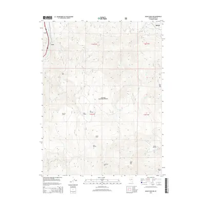
2014 Map of Mount Rose NW
USGS Topo · Published 2014About this map
The Carson Range dominates this landscape southwest of Reno, where the Truckee River snakes through the northwestern corner near the settlements of Verdi and Fleish. This 2014 survey captures a high-elevation environment within the Toiyabe National Forest, characterized by significant mountain peaks and alpine catchments. Names like Snowflower Mtn and Alpine Walk Peak suggest the recreational and seasonal character of the terrain, while landmarks such as Dutch Louie Flats and Puny Dip Canyon offer local color for those researching regional place-names.
Find a feature on this map
30 named features on this map. Tap any name to fly to it.
Don’t see what you’re looking for? This feature index may not catch every label — zoom into the map to look around manually.
Map Details
Editions of this 2014 Mount Rose NW Map
This is the sole edition of this map. No revisions or reprints were ever made.
Other maps of this area

1890 · Sierraville
USGS Topo · 1:125,000

1891 · Carson
USGS Topo · 1:125,000

1891 · Truckee
USGS Topo · 1:125,000

1891 · Reno
USGS Topo · 1:125,000

1892 · Sierraville
USGS Topo · 1:125,000

1893 · Carson
USGS Topo · 1:125,000

1893 · Truckee
USGS Topo · 1:125,000

1893 · Reno
USGS Topo · 1:125,000

1894 · Sierraville
USGS Topo · 1:125,000

1895 · Truckee
USGS Topo · 1:125,000