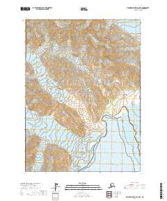
2017 Map of Mount Saint Elias A-5 SE
USGS Topo · Published 2017About this map
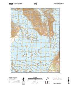
Wrangell-Saint Elias National Park encompasses a landscape of massive glacial systems as they meet the tidewaters of Disenchantment Bay. This 2017 survey shows the confluence of major ice flows, including the Hubbard Glacier, which terminates into the Gulf of Alaska alongside the debris-covered margins of the Turner Glacier. The map illustrates the complex hydrography of this coastal wilderness, where ice and sea are in constant dialogue. To the north, alpine tributaries like the Valerie Glacier, Miller Glacier, and Haenke Glacier feed into the primary glacial channels. The lack of human infrastructure or settlements on the map underscores the area's identity as a strictly managed conservation zone within the largest national park in the United States.
Find a feature on this map
17 named features on this map. Tap any name to fly to it.
Don’t see what you’re looking for? This feature index may not catch every label — zoom into the map to look around manually.
Map Details
Editions of this 2017 Mount Saint Elias A-5 SE Map
This is the sole edition of this map. No revisions or reprints were ever made.
Other maps of this area

1951 · Yakutat
USGS Topo · 1:250,000

1951 · Mt Saint Elias
USGS Topo · 1:250,000

1959 · Yakutat D-4
USGS Topo · 1:63,360

1959 · Yakutat D-5
USGS Topo · 1:63,360

1959 · Yakutat
USGS Topo · 1:250,000

1959 · Mt Saint Elias
USGS Topo · 1:250,000
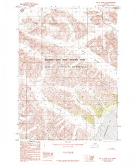
1985 · Mount Saint Elias A-5
USGS Topo · 1:63,360
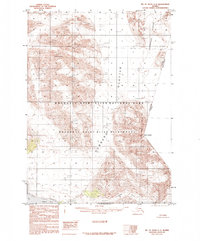
1985 · Mount Saint Elias A-4
USGS Topo · 1:63,360
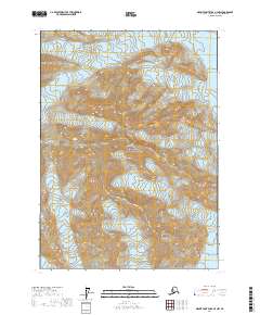
2017 · Mount Saint Elias A-4 NW
USGS Topo · 1:25,000
2017 · Mount Saint Elias A-4 SW
USGS Topo · 1:25,000