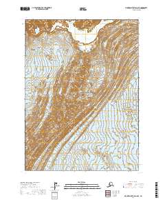
2017 Map of Mount Saint Elias A-8 SE
USGS Topo · Published 2017About this map
Wrangell-Saint Elias National Park encompasses this entire coastal Alaskan terrain, where the shifting dynamics of glacial ice define the landscape. This 2017 survey shows the intricate flow patterns and debris of the Agassiz Glacier and the Malaspina Glacier as they interact in this remote section of the Yakutat City and Borough. The map's fine contour lines illustrate the complex moraines and ice-field elevations that dominate the region, providing a detailed look at the glacial geology within one of the nation's largest protected wilderness areas. It is an essential document for understanding the modern topographic state of these ice masses as they were recorded at the start of the twenty-first century.
Find a feature on this map
7 named features on this map. Tap any name to fly to it.
Don’t see what you’re looking for? This feature index may not catch every label — zoom into the map to look around manually.
Map Details
Editions of this 2017 Mount Saint Elias A-8 SE Map
This is the sole edition of this map. No revisions or reprints were ever made.
Other maps of this area

1951 · Yakutat
USGS Topo · 1:250,000

1951 · Mt Saint Elias
USGS Topo · 1:250,000

1959 · Yakutat
USGS Topo · 1:250,000

1959 · Mt Saint Elias
USGS Topo · 1:250,000
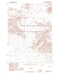
1985 · Mount Saint Elias A-7
USGS Topo · 1:63,360
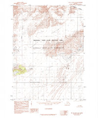
1985 · Mount Saint Elias A-8
USGS Topo · 1:63,360
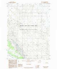
1985 · Yakutat D-8
USGS Topo · 1:63,360
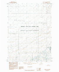
1985 · Yakutat D-7
USGS Topo · 1:63,360
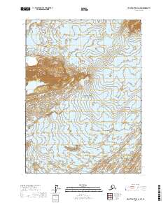
2017 · Mount Saint Elias A-8 SW
USGS Topo · 1:25,000
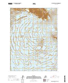
2017 · Mount Saint Elias A-7 SW
USGS Topo · 1:25,000