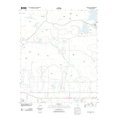
2012 Map of Mount Scott
USGS Topo · Published 2012About this map
Mount Scott dominates the skyline of this northern Comanche County landscape, overlooking a complex network of granite peaks and man-made reservoirs. The early 21st-century topography highlights the unique settlement of The Holy City near the foothills and the established community of Medicine Park situated along the shores of Lake Lawtonka and Medicine Cr. This area is defined by its transition from the high, rocky elevations of Mt McKinley and Central Peak to the flatter plains of Graham Flat and Sulphur Flat further south.
Find a feature on this map
73 named features on this map. Tap any name to fly to it.
Don’t see what you’re looking for? This feature index may not catch every label — zoom into the map to look around manually.
Map Details
Editions of this 2012 Mount Scott Map
This is the sole edition of this map. No revisions or reprints were ever made.
Other maps of this area
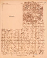
1937 · Cache
USGS Topo · 1:48,000
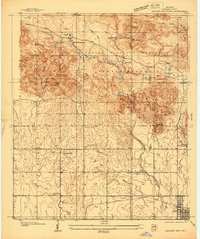
1937 · Quanah Mountain
USGS Topo · 1:24,000
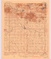
1942 · Cache
USGS Topo · 1:62,500
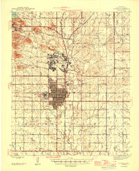
1946 · Lawton
USGS Topo · 1:62,500
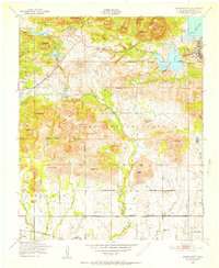
1949 · Mount Scott
USGS Topo · 1:24,000
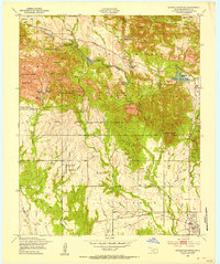
1949 · Quanah Mountain
USGS Topo · 1:24,000
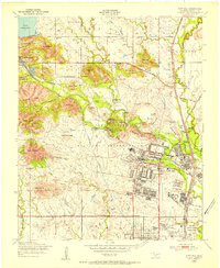
1949 · Fort Sill
USGS Topo · 1:24,000
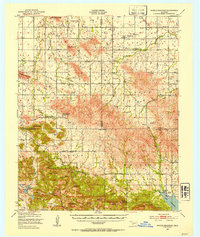
1950 · Saddle Mountain
USGS Topo · 1:62,500

1955 · Lawton
USGS Topo · 1:250,000
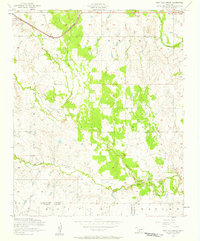
1956 · Post Oak Creek
USGS Topo · 1:24,000