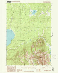
1986 Map of Mount Sheridan
USGS Topo · Published 1986About this map
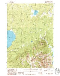
Mount Sheridan and the surrounding peaks of the Red Mountains dominate this high-elevation wilderness within Yellowstone National Park. Recorded in the mid-1980s, the landscape is defined by the hydrologic boundary of the Continental Divide, which separates the drainages of large water bodies like Lewis Lake and Heart Lake. Geothermal activity is a primary feature of the eastern terrain, evidenced by the Heart Lake Geyser Basin and the specifically identified Rustic Geyser.
Find a feature on this map
24 named features on this map. Tap any name to fly to it.
Don’t see what you’re looking for? This feature index may not catch every label — zoom into the map to look around manually.
Map Details
Editions of this 1986 Mount Sheridan Map
2 editions found
Other maps of this area

1885 · Lake
USGS Topo · 1:125,000

1886 · Shoshone
USGS Topo · 1:125,000

1888 · Shoshone
USGS Topo · 1:125,000

1895 · Shoshone
USGS Topo · 1:125,000

1895 · Lake
USGS Topo · 1:125,000

1896 · Lake
USGS Topo · 1:125,000

1901 · Shoshone
USGS Topo · 1:125,000

1901 · Lake
USGS Topo · 1:125,000

1906 · Lake
USGS Topo · 1:125,000

1908 · Shoshone
USGS Topo · 1:125,000