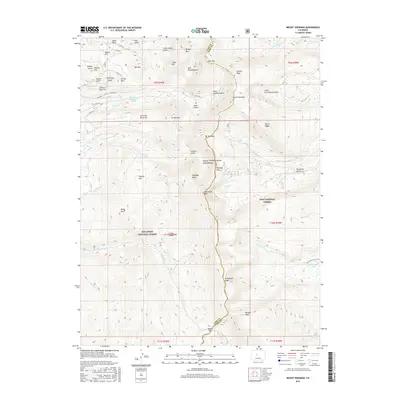
2016 Map of Mount Sherman
USGS Topo · Published 2016About this map
Mount Sherman and the high peaks of the Mosquito Range dominate this 2016 survey, which documents the divide between the San Isabel National Forest and Pike National Forest. The map detail reveals the industrial footprint of the region's mining history, notably at California Gulch and the Black Cloud Tailings Pond near Breece Hill. Transport routes like Co Rte 18 and Co Rte 28 wind through complex terrain, connecting landmarks like Printer Boy Hill and Green Mtn to high-altitude passes.
Find a feature on this map
68 named features on this map. Tap any name to fly to it.
Don’t see what you’re looking for? This feature index may not catch every label — zoom into the map to look around manually.
Map Details
Editions of this 2016 Mount Sherman Map
This is the sole edition of this map. No revisions or reprints were ever made.
Other maps of this area
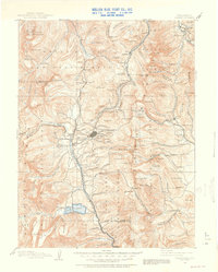
1889 · Leadville
USGS Topo · 1:125,000
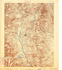
1891 · Leadville
USGS Topo · 1:125,000
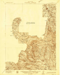
1934 · Climax
USGS Topo · 1:48,000
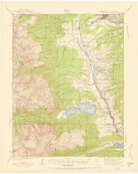
1935 · Mount Elbert
USGS Topo · 1:62,500
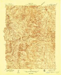
1938 · Mt. Lincoln
USGS Topo · 1:48,000
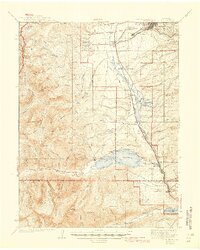
1938 · Mount Elbert
USGS Topo · 1:62,500
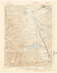
1939 · Mount Elbert
USGS Topo · 1:62,500
1942 · Leadville
USGS Topo · 1:125,000
1945 · Mount Lincoln
USGS Topo · 1:62,500
1949 · Holy Cross
USGS Topo · 1:62,500