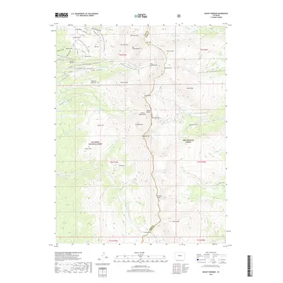
2019 Map of Mount Sherman
USGS Topo · Published 2019About this map
The Mosquito Range forms a high-altitude spine across this landscape, separating the San Isabel National Forest to the west from the Pike National Forest to the east. Dominating the central topography are the 14,000-foot heights of Mt Sherman and Mt Sheridan, flanked by dramatic glacial cirques such as the Dyer Amphitheater, Iowa Amphitheater, and Empire Amphitheater. The western slopes are defined by a long history of mining and exploration, evident in the network of routes like Co Rte 38 and Co Rte 2b that wind past Breece Hill, Printer Boy Hill, and Long and Derry Hill. Modern recreation intersects with these legacy trails along the Leadville Race Series - Silver Rush 50 course. Drainage systems radiate from the peaks, feeding into Empire Reservoir, Leavick Tarn, and the alpine waters of Twelvemile Lake, while Weston Pass provides a southern transit point through the high divide.
Find a feature on this map
67 named features on this map. Tap any name to fly to it.
Don’t see what you’re looking for? This feature index may not catch every label — zoom into the map to look around manually.
Map Details
Editions of this 2019 Mount Sherman Map
This is the sole edition of this map. No revisions or reprints were ever made.
Other maps of this area
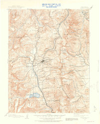
1889 · Leadville
USGS Topo · 1:125,000
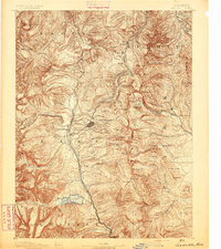
1891 · Leadville
USGS Topo · 1:125,000
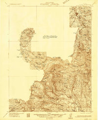
1934 · Climax
USGS Topo · 1:48,000
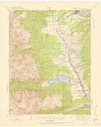
1935 · Mount Elbert
USGS Topo · 1:62,500
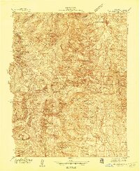
1938 · Mt. Lincoln
USGS Topo · 1:48,000
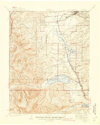
1938 · Mount Elbert
USGS Topo · 1:62,500
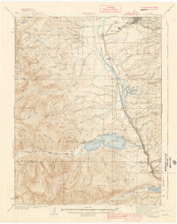
1939 · Mount Elbert
USGS Topo · 1:62,500
1942 · Leadville
USGS Topo · 1:125,000
1945 · Mount Lincoln
USGS Topo · 1:62,500
1949 · Holy Cross
USGS Topo · 1:62,500