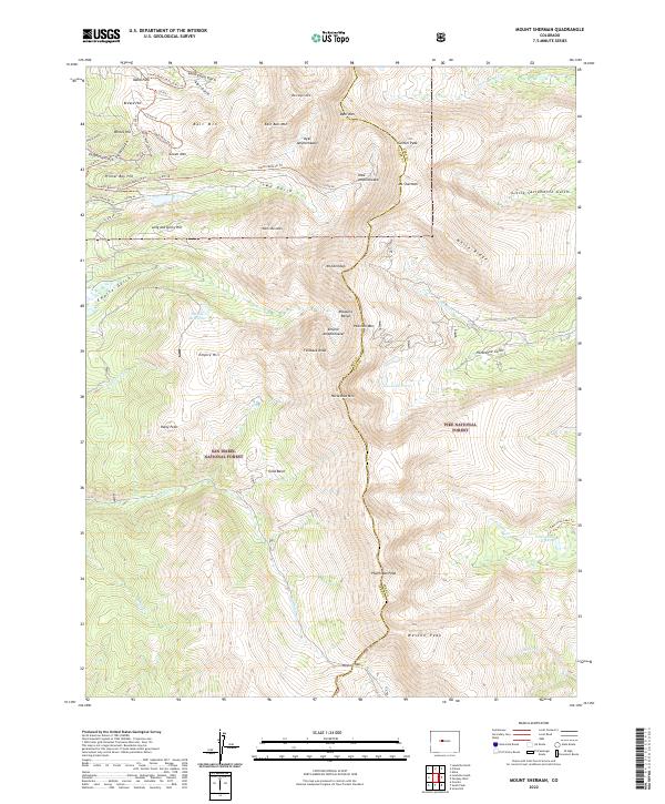
2022 Map of Mount Sherman
USGS Topo · Published 2022About this map
Mosquito Range peaks dominate this high-elevation landscape along the boundary of San Isabel National Forest and Pike National Forest. The map documents a geography defined by massive glacial cirques and alpine basins, including the Dyer Amphitheater and Empire Amphitheater. The eastern edge of the famous Leadville mining district is evident in the cluster of named hills and gulches such as Printer Boy Hill, Ball Mtn, and California Gulch, while the small settlement of Idaho Park sits in the northwest corner near South Evans Gulch.
Find a feature on this map
71 named features on this map. Tap any name to fly to it.
Don’t see what you’re looking for? This feature index may not catch every label — zoom into the map to look around manually.
Map Details
Editions of this 2022 Mount Sherman Map
This is the sole edition of this map. No revisions or reprints were ever made.
Other maps of this area

1889 · Leadville
USGS Topo · 1:125,000

1891 · Leadville
USGS Topo · 1:125,000

1934 · Climax
USGS Topo · 1:48,000

1935 · Mount Elbert
USGS Topo · 1:62,500

1938 · Mt. Lincoln
USGS Topo · 1:48,000

1938 · Mount Elbert
USGS Topo · 1:62,500

1939 · Mount Elbert
USGS Topo · 1:62,500

1942 · Leadville
USGS Topo · 1:125,000

1945 · Mount Lincoln
USGS Topo · 1:62,500

1949 · Holy Cross
USGS Topo · 1:62,500