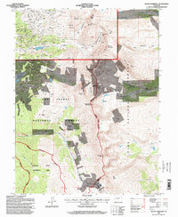
1994 Map of Mount Sherman
USGS Topo · Published 1998About this map
Mining operations and high mountain peaks dominate this landscape along the boundary of Lake and Park Counties. The northern portion of the map is densely populated with historical extraction sites on the slopes of Breece Hill and Ball Mountain, including the Ibex Mine, Julia Fiske Mine, and Irene No 2 Mine. These claims reflect a legacy of hard-rock prospecting that follows the drainages of California Gulch and Iowa Gulch.
Find a feature on this map
62 named features on this map. Tap any name to fly to it.
Don’t see what you’re looking for? This feature index may not catch every label — zoom into the map to look around manually.
Map Details
Editions of this 1994 Mount Sherman Map
This is the sole edition of this map. No revisions or reprints were ever made.
Other maps of this area

1889 · Leadville
USGS Topo · 1:125,000

1891 · Leadville
USGS Topo · 1:125,000

1934 · Climax
USGS Topo · 1:48,000

1935 · Mount Elbert
USGS Topo · 1:62,500

1938 · Mt. Lincoln
USGS Topo · 1:48,000

1938 · Mount Elbert
USGS Topo · 1:62,500

1939 · Mount Elbert
USGS Topo · 1:62,500

1942 · Leadville
USGS Topo · 1:125,000

1945 · Mount Lincoln
USGS Topo · 1:62,500

1949 · Holy Cross
USGS Topo · 1:62,500