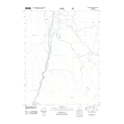
2011 Map of Mount Sopris
USGS Topo · Published 2011About this map
The Crystal River corridor dominates this high-altitude landscape, where the settlement of Janeway marks the southern entry point into the valley. This early 21st-century survey documents an intricate network of irrigation systems essential to the region's agricultural viability, including the Sweet Jessup Canal, East Mesa Ditch, and Rockford Ditch. These waterways wrap around the base of The Crown and Holgate Mesa, illustrating how water management shaped the development of Colorado’s Western Slope.
Find a feature on this map
34 named features on this map. Tap any name to fly to it.
Don’t see what you’re looking for? This feature index may not catch every label — zoom into the map to look around manually.
Map Details
Editions of this 2011 Mount Sopris Map
This is the sole edition of this map. No revisions or reprints were ever made.
Other maps of this area

1957 · Leadville
USGS Topo · 1:250,000

1959 · Leadville
USGS Topo · 1:250,000

1960 · Leadville
USGS Topo · 1:250,000

1960 · Capitol Peak
USGS Topo · 1:24,000

1960 · Redstone
USGS Topo · 1:24,000

1961 · Mount Sopris
USGS Topo · 1:24,000

1961 · Cattle Creek
USGS Topo · 1:24,000

1961 · Carbondale
USGS Topo · 1:24,000

1961 · Leon
USGS Topo · 1:24,000

1961 · Basalt
USGS Topo · 1:24,000