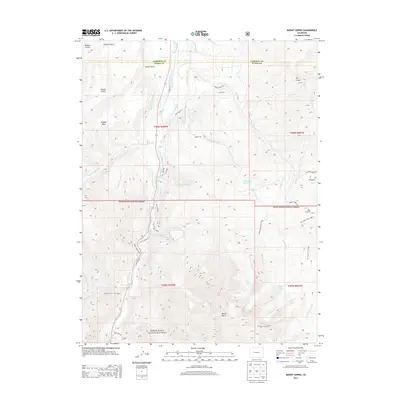
2013 Map of Mount Sopris
USGS Topo · Published 2013About this map
Mount Sopris dominates this high-altitude landscape south of Carbondale, where the alpine terrain gives way to a complex network of agricultural and water management infrastructure. The Crystal River valley is defined by an intricate system of gravity-fed irrigation, including the Sweet Jessup Canal, E Mesa Ditch, and Rockford Ditch, reflecting the historical reliance on mountain snowpack for ranching and farming in the region. These diversions run alongside family-named landmarks like Potato Bill Creek and Holgate Mesa, illustrating the era's rural land-use patterns.
Find a feature on this map
46 named features on this map. Tap any name to fly to it.
Don’t see what you’re looking for? This feature index may not catch every label — zoom into the map to look around manually.
Map Details
Editions of this 2013 Mount Sopris Map
This is the sole edition of this map. No revisions or reprints were ever made.
Other maps of this area
1957 · Leadville
USGS Topo · 1:250,000
1959 · Leadville
USGS Topo · 1:250,000
1960 · Leadville
USGS Topo · 1:250,000
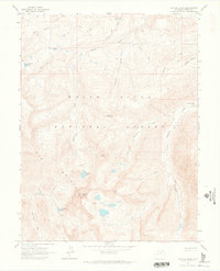
1960 · Capitol Peak
USGS Topo · 1:24,000
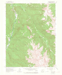
1960 · Redstone
USGS Topo · 1:24,000
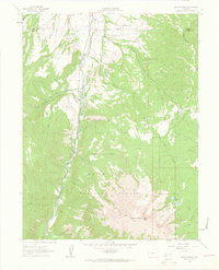
1961 · Mount Sopris
USGS Topo · 1:24,000
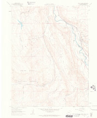
1961 · Cattle Creek
USGS Topo · 1:24,000
1961 · Carbondale
USGS Topo · 1:24,000
1961 · Leon
USGS Topo · 1:24,000
1961 · Basalt
USGS Topo · 1:24,000