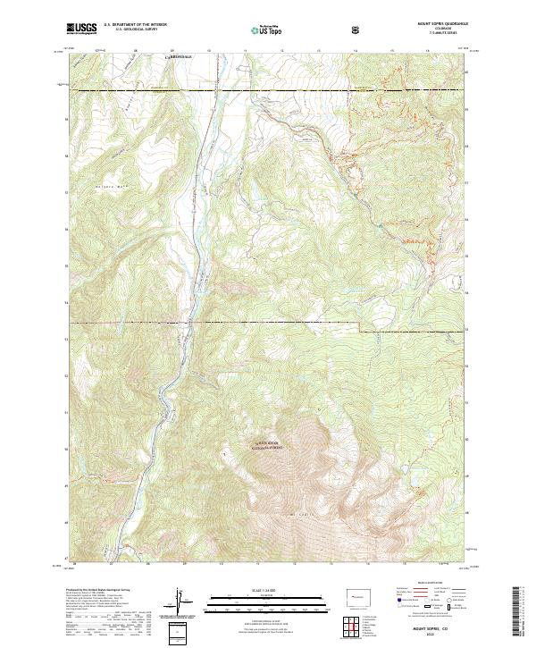
2022 Map of Mount Sopris
USGS Topo · Published 2022About this map
White River National Forest dominates the southern half of this landscape, culminating in the massive peak of Mt Sopris. The terrain transitions from the high alpine lakes like Thomas Lakes down to the valley floor where the Crystal River flows northward toward Carbondale. This environment is shaped by an intricate network of water management, evident in features such as the Sweet Jessup Ditch, Rockford Ditch, and Sweetdessup Canal, which draw from the mountain drainages to support the lower elevations.
Find a feature on this map
60 named features on this map. Tap any name to fly to it.
Don’t see what you’re looking for? This feature index may not catch every label — zoom into the map to look around manually.
Map Details
Editions of this 2022 Mount Sopris Map
This is the sole edition of this map. No revisions or reprints were ever made.
Other maps of this area

1957 · Leadville
USGS Topo · 1:250,000

1959 · Leadville
USGS Topo · 1:250,000

1960 · Leadville
USGS Topo · 1:250,000

1960 · Capitol Peak
USGS Topo · 1:24,000

1960 · Redstone
USGS Topo · 1:24,000

1961 · Mount Sopris
USGS Topo · 1:24,000

1961 · Cattle Creek
USGS Topo · 1:24,000

1961 · Carbondale
USGS Topo · 1:24,000

1961 · Leon
USGS Topo · 1:24,000

1961 · Basalt
USGS Topo · 1:24,000