
1919 Map of Mount St Helens
USGS Topo · Published 1919About this map
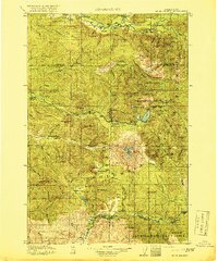
Mt St Helens dominates the landscape of the Columbian National Forest in this 1919 edition, captured long before its famous 1980 eruption changed the topography forever. The terrain is a network of ridges and water systems, where the Cowlitz River and Cispus River meet near the settlements of Kosmos and Nesika. Local life in the early 20th century is evidenced by Baugh School and several remote outposts, including the Toutle River Ranger Sta and Spirit Lake Ranger Sta.
Find a feature on this map
100 named features on this map. Tap any name to fly to it.
Don’t see what you’re looking for? This feature index may not catch every label — zoom into the map to look around manually.
Map Details
Editions of this 1919 Mount St Helens Map
4 editions found
Other maps of this area

1916 · Chehalis
USGS Topo · 1:125,000

1924 · Mt Rainier
USGS Topo · 1:96,000

1926 · Steamboat Mtn
USGS Topo · 1:125,000

1926 · Hood River
USGS Topo · 1:125,000

1928 · Mt Rainier
USGS Topo · 1:125,000

1929 · Hood River
USGS Topo · 1:125,000

1931 · Steamboat Mtn
USGS Topo · 1:125,000

1937 · Eatonville
USGS Topo · 1:125,000

1940 · Lookout Mtn
USGS Topo · 1:62,500

1940 · La Center
USGS Topo · 1:62,500