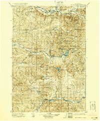
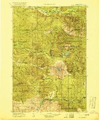
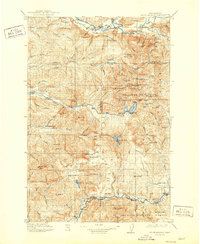
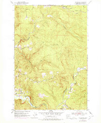
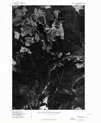
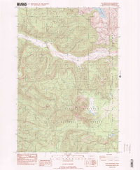
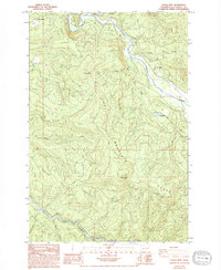
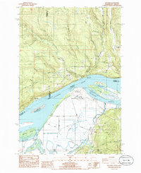
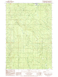
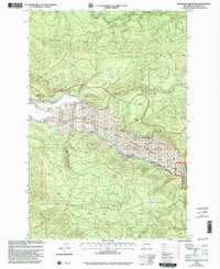
1919 Map of Mt St Helens
USGS Topo · Published 1929About this map
Mt St Helens stands as the central landmark in this 1910s landscape, a decade before its surrounding terrain was vastly altered by the 1980 eruption. This survey reveals a wilderness defined by early forestry and mining activity within the Columbia National Forest. Several ranger stations, including the Toutle River Ranger Sta and Spirit Lake Ranger Sta, indicate the early administrative presence of the U.S. Forest Service in managing these timberlands.
Find a feature on this map
108 named features on this map. Tap any name to fly to it.
Don’t see what you’re looking for? This feature index may not catch every label — zoom into the map to look around manually.
Map Details
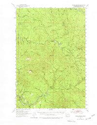
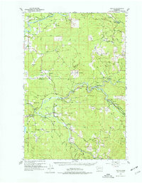
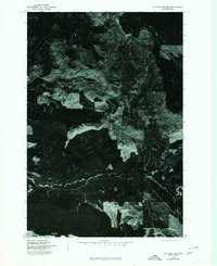
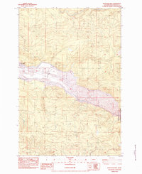
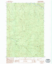
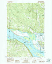
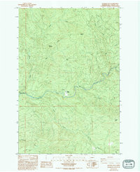
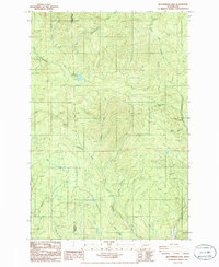
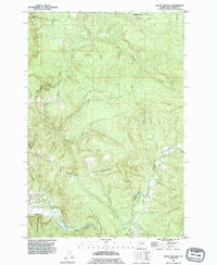
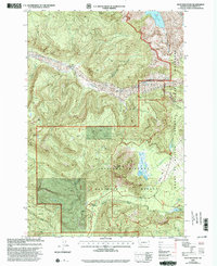
Editions of this 1919 Mt St Helens Map
4 editions found

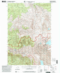
Historical Maps of Northwoods Through Time
48 maps found
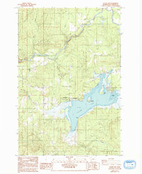
1919 Mt St. Helens
Cowlitz County, WA

1941 Olequa
Cowlitz County, WA

1942 Toutle
Cowlitz County, WA

1943 Pigeon Springs
Cowlitz County, WA
1953 Elk Rock
Cowlitz County, WA
1953 Mt. Brynion
Cowlitz County, WA
1953 Pigeon Springs
Cowlitz County, WA
1953 Toutle
Cowlitz County, WA
1975 Cougar NE
Cowlitz County, WA
1975 Cougar SE
Cowlitz County, WA
1975 Elk Rock SE
Cowlitz County, WA
1983 Elk Mountain
Cowlitz County, WA
1983 Elk Rock
Cowlitz County, WA
1983 Goat Mountain
Cowlitz County, WA
1983 Hoffstadt Mtn
Cowlitz County, WA
1983 Lakeview Peak
Cowlitz County, WA
1984 Hemlock Pass
Cowlitz County, WA
1984 Toutle Mtn.
Cowlitz County, WA
1984 Wolf Point
Cowlitz County, WA
1985 Coal Creek
Cowlitz County, WA
1985 Georges Peak
Cowlitz County, WA
1985 Oak Point
Cowlitz County, WA
1985 Silver Lake
Cowlitz County, WA
1985 Toutle
Cowlitz County, WA
1985 Woolford
Cowlitz County, WA
1986 Abernathy Mountain
Cowlitz County, WA
1986 Elochoman Lake
Cowlitz County, WA
1990 Mount Brynion
Cowlitz County, WA
1998 Elk Rock
Cowlitz County, WA
1998 Hoffstadt Mountain
Cowlitz County, WA
2000 Goat Mountain
Cowlitz County, WA
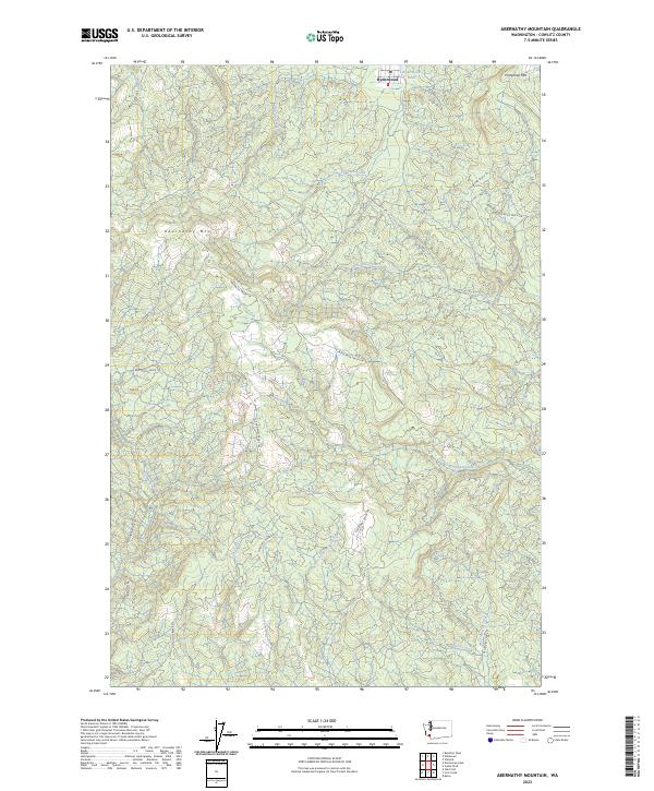
2023 Abernathy Mountain
Cowlitz County, WA
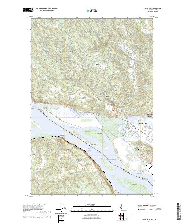
2023 Coal Creek
Cowlitz County, WA
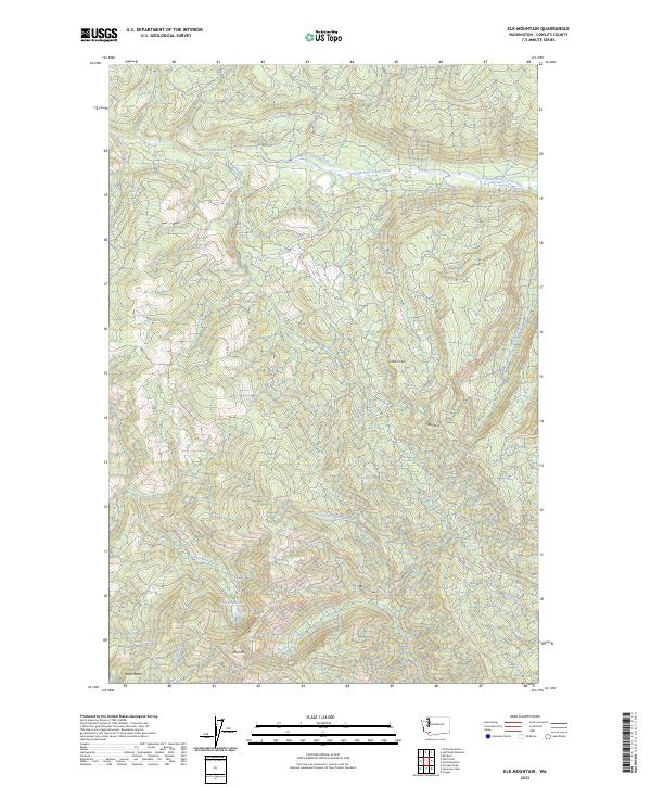
2023 Elk Mountain
Cowlitz County, WA
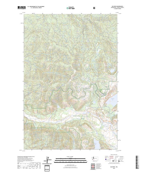
2023 Elk Rock
Cowlitz County, WA
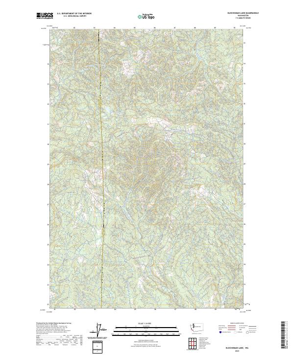
2023 Elochoman Lake
Cowlitz County, WA
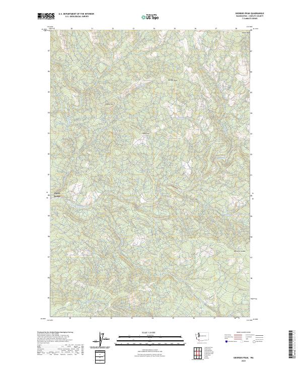
2023 Georges Peak
Cowlitz County, WA
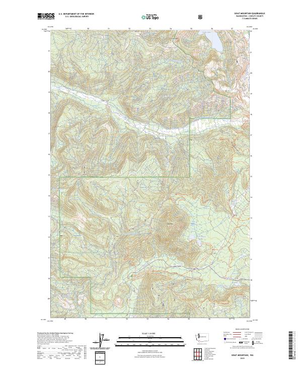
2023 Goat Mountain
Cowlitz County, WA
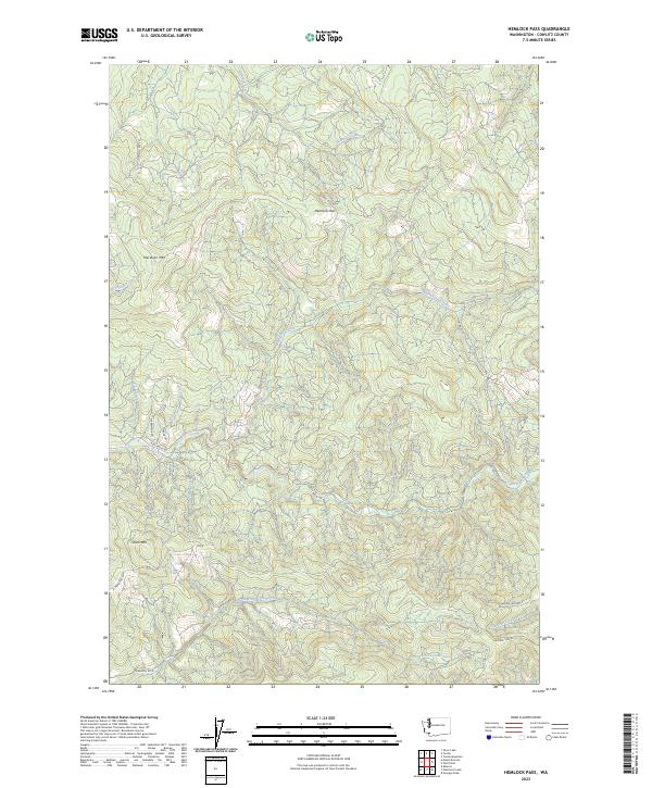
2023 Hemlock Pass
Cowlitz County, WA
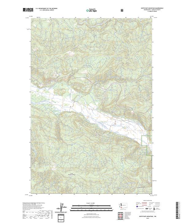
2023 Hoffstadt Mountain
Cowlitz County, WA
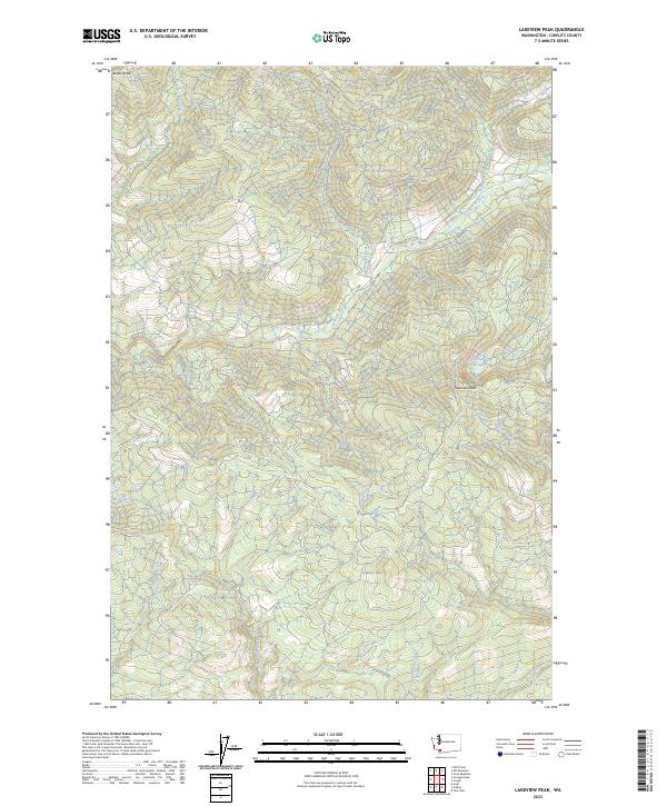
2023 Lakeview Peak
Cowlitz County, WA
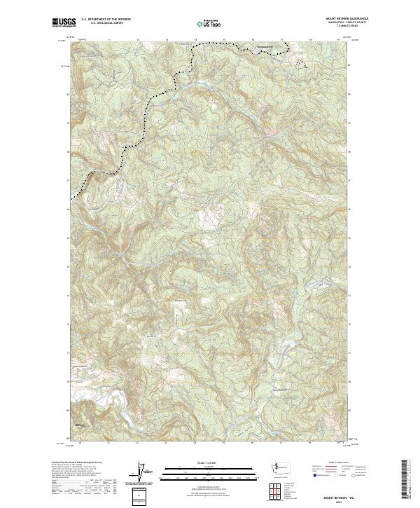
2023 Mount Brynion
Cowlitz County, WA
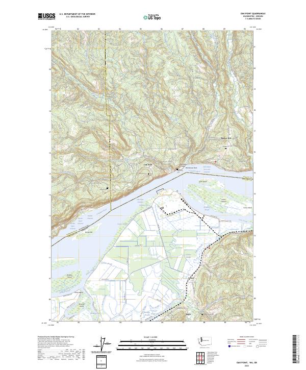
2023 Oak Point
Cowlitz County, WA
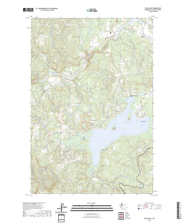
2023 Silver Lake
Cowlitz County, WA
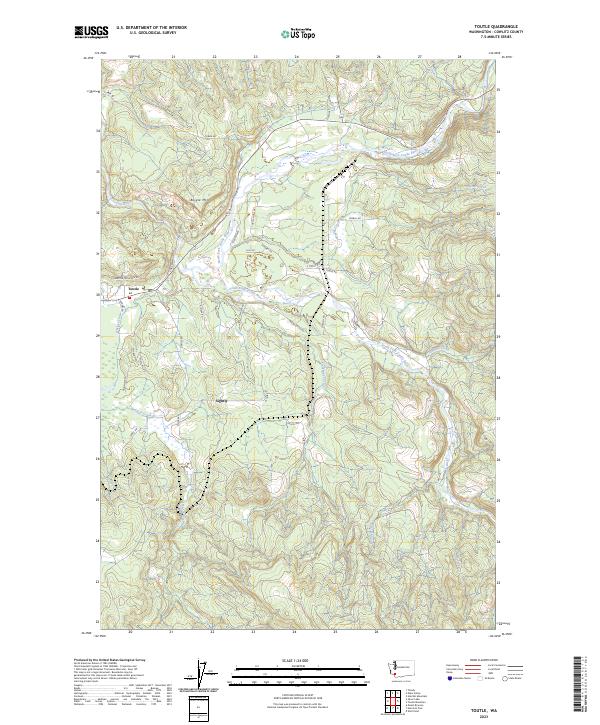
2023 Toutle
Cowlitz County, WA
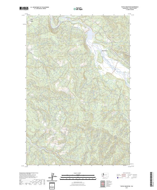
2023 Toutle Mountain
Cowlitz County, WA
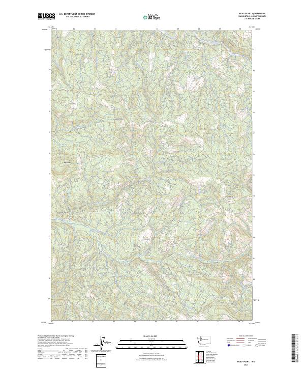
2023 Wolf Point
Cowlitz County, WA
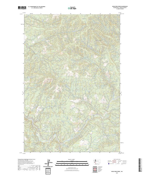
2023 Woolford Creek
Cowlitz County, WA