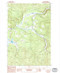
1985 Map of Toutle
USGS Topo · Published 1994About this map
Toutle serves as the primary settlement hub in this 1980s landscape, situated where the terrain begins to transition toward the high peaks of the Cascades. The geography is defined by the convergence of the North Fork Toutle River and the South Fork Toutle River, which carve through the timber-heavy hills. The presence of a dedicated Logging Railroad and numerous labeled quarries and borrow pits reflects the area's industrial reliance on natural resources during this era.
Find a feature on this map
21 named features on this map. Tap any name to fly to it.
Don’t see what you’re looking for? This feature index may not catch every label — zoom into the map to look around manually.
Map Details
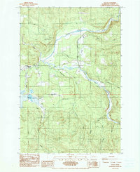
Editions of this 1985 Toutle Map
2 editions found
Other maps of this area

1921 · Kalama
USGS Topo · 1:62,500

1941 · Olequa
USGS Topo · 1:62,500

1942 · Toutle
USGS Topo · 1:62,500

1943 · Pigeon Springs
USGS Topo · 1:62,500

1953 · Hoquiam
USGS Topo · 1:250,000

1953 · Toutle
USGS Topo · 1:62,500

1953 · Castle Rock
USGS Topo · 1:62,500

1953 · Mt. Brynion
USGS Topo · 1:24,000

1953 · Pigeon Springs
USGS Topo · 1:62,500

1957 · Hoquiam
USGS Topo · 1:250,000