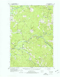
1953 Map of Toutle
USGS Topo · Published 1977About this map
The Cowlitz River and its complex tributaries define the topography of this Washington region during the early 1950s. The landscape is a mix of lowland agriculture on Cowlitz Prairie and Layton Prairie, and high-timber activity further east. At the confluence of the North Fork Toutle River and South Fork Toutle River, the settlement of Toutle serves as a local hub, supported by the nearby Toutle Lake School.
Find a feature on this map
65 named features on this map. Tap any name to fly to it.
Don’t see what you’re looking for? This feature index may not catch every label — zoom into the map to look around manually.
Map Details
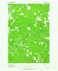
Editions of this 1953 Toutle Map
Other maps of this area

1916 · Chehalis
USGS Topo · 1:125,000

1919 · Mount St Helens
USGS Topo · 1:125,000

1921 · Kalama
USGS Topo · 1:62,500

1937 · Eatonville
USGS Topo · 1:125,000

1941 · Olequa
USGS Topo · 1:62,500

1942 · Toutle
USGS Topo · 1:62,500

1943 · Willapa
USGS Topo · 1:62,500

1943 · Pigeon Springs
USGS Topo · 1:62,500

1953 · Hoquiam
USGS Topo · 1:250,000

1953 · Toutle
USGS Topo · 1:62,500