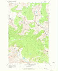
1968 Map of Mount Stimson
USGS Topo · Published 1972About this map
The high peaks of Glacier National Park dominate this 1968 field-checked survey, centering on the massive Mount Stimson and the intersection of Flathead and Glacier counties. The landscape is defined by its verticality, with the Continental Divide snaking between summits like Norris Mountain and Triple Divide Peak. This topographical record captures the extent of the Logan Glacier and Red Eagle Glacier before modern retreats, along with the primitive transportation network of the era. Human presence is limited to the isolated Patrol Cabin and a series of high-altitude paths, including the Triple Divide Trail and Pitamakan Pass Trail, which follow the natural drainages of Nyack Creek and Pacific Creek. The map provides a precise look at the hydrology of the divide, where waters flow toward disparate basins from common ridges.
Find a feature on this map
27 named features on this map. Tap any name to fly to it.
Don’t see what you’re looking for? This feature index may not catch every label — zoom into the map to look around manually.
Map Details
Editions of this 1968 Mount Stimson Map
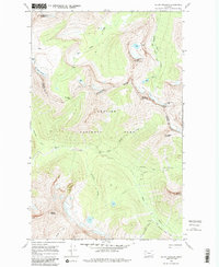
2 editions found
Other maps of this area

1901 · Browning
USGS Topo · 1:125,000

1903 · Browning
USGS Topo · 1:125,000

1904 · Chief Mountain
USGS Topo · 1:125,000

1913 · Marias Pass
USGS Topo · 1:125,000

1914 · Nyack
USGS Topo · 1:125,000

1938 · Chief Mountain
USGS Topo · 1:125,000

1960 · Cut Bank
USGS Topo · 1:250,000

1963 · Cut Bank
USGS Topo · 1:250,000

1964 · Cut Bank
USGS Topo · 1:250,000

1964 · Stanton Lake
USGS Topo · 1:24,000