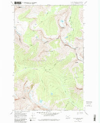
1968 Map of Mount Stimson
USGS Topo · Published 1985About this map
Glacier National Park dominates this topography, defined by the hydrological apex of the Continental Divide. At Triple Divide Peak, water paths diverge toward three different oceans, a rare geographic phenomenon that shapes the drainage of Hudson Bay Creek, Nyack Creek, and Pacific Creek. The high-elevation landscape is marked by massive peaks like Mount Stimson and Almost-a-Dog Mountain, alongside the receding bodies of the Red Eagle Glacier and Logan Glacier. Human presence is minimal and functional, represented by the isolated Patrol Cabin and a network of remote footpaths including the Triple Divide Trail and Pitamakan Pass Trail. The map documents the high-country environment of Flathead and Glacier counties before late-century climatic shifts further altered the namesake ice sheets.
Find a feature on this map
28 named features on this map. Tap any name to fly to it.
Don’t see what you’re looking for? This feature index may not catch every label — zoom into the map to look around manually.
Map Details
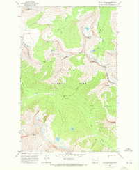
Editions of this 1968 Mount Stimson Map
2 editions found
Other maps of this area

1901 · Browning
USGS Topo · 1:125,000

1903 · Browning
USGS Topo · 1:125,000

1904 · Chief Mountain
USGS Topo · 1:125,000

1913 · Marias Pass
USGS Topo · 1:125,000

1914 · Nyack
USGS Topo · 1:125,000

1938 · Chief Mountain
USGS Topo · 1:125,000

1960 · Cut Bank
USGS Topo · 1:250,000

1963 · Cut Bank
USGS Topo · 1:250,000

1964 · Cut Bank
USGS Topo · 1:250,000

1964 · Stanton Lake
USGS Topo · 1:24,000