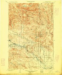
1902 Map of Mount Stuart
USGS Topo · Published 1914About this map
Wenatchee Mountains dominate the northern landscape of this region, which was surveyed at the end of the nineteenth century when the timber and mining industries were establishing permanent footprints. The Northern Pacific R. R. follows the path of the Teanaway River, serving early coal-producing centers like Roslyn and Clealum. The Roslyn Branch rail line illustrates the era's reliance on localized transport for resource extraction.
Find a feature on this map
67 named features on this map. Tap any name to fly to it.
Don’t see what you’re looking for? This feature index may not catch every label — zoom into the map to look around manually.
Map Details
Editions of this 1902 Mount Stuart Map
5 editions found
Other maps of this area

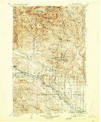
1897 · Mount Stuart
USGS Topo · 1:125,000

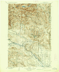
1899 · Ellensburg
USGS Topo · 1:125,000

1901 · Chelan
USGS Topo · 1:125,000

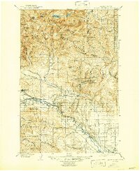
1901 · Ellensburg
USGS Topo · 1:125,000

1901 · Chiwaukum
USGS Topo · 1:125,000

1901 · Snoqualmie Pass
USGS Topo · 1:125,000

1902 · Mount Aix
USGS Topo · 1:125,000

1902 · Skykomish
USGS Topo · 1:125,000

1902 · Mount Stuart
USGS Topo · 1:125,000

1903 · Snoqualmie
USGS Topo · 1:125,000