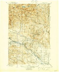
1902 Map of Mount Stuart
USGS Topo · Published 1946About this map
Ellensburg serves as the southern anchor for this topographic study, where the Northern Pacific R.R. follows the valley floor alongside the Yakima River. The landscape transitions rapidly from the open flats of Swank Prairie into the steep, mining-inflected terrain of the Wenatchee Mountains. Small settlements like Meaghersville, Liberty, and Blewett are positioned deep within the narrow gulches, reflecting the era's extraction-based economy. To the west, the Roslyn Branch rail line connects the coal-rich area around Roslyn and Cle Elum to the main transport corridors.
Find a feature on this map
98 named features on this map. Tap any name to fly to it.
Don’t see what you’re looking for? This feature index may not catch every label — zoom into the map to look around manually.
Map Details
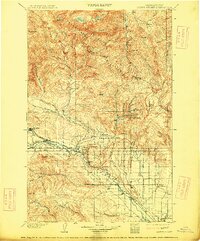
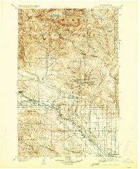
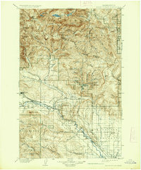
Editions of this 1902 Mount Stuart Map
5 editions found
Other maps of this area

1897 · Mount Stuart
USGS Topo · 1:125,000

1899 · Ellensburg
USGS Topo · 1:125,000

1901 · Chelan
USGS Topo · 1:125,000

1901 · Ellensburg
USGS Topo · 1:125,000

1901 · Chiwaukum
USGS Topo · 1:125,000

1901 · Snoqualmie Pass
USGS Topo · 1:125,000

1902 · Mount Aix
USGS Topo · 1:125,000

1902 · Skykomish
USGS Topo · 1:125,000

1902 · Mount Stuart
USGS Topo · 1:125,000

1903 · Snoqualmie
USGS Topo · 1:125,000