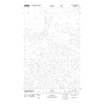
2011 Map of Mount Tebo
USGS Topo · Published 2011About this map
Mount Tebo stands as the central landmark in this high-elevation landscape within the Olympic National Forest. This 2011 survey reveals a complex network of forest roads and trails that connect isolated backcountry destinations like Camp Harps Shelter and the Church Creek Shelter. The area serves as a significant hydrological divide, where the headwaters of the South Fork Skokomish River flow toward the Sound, while the Canyon River and Middle Fork Satsop River drain southward. Notable water bodies such as Spider Lake and Pine Lake are tucked into the drainages between prominent heights like Mount Church and Dusk Point. For those interested in the recreational infrastructure of the early 21st century, the map provides precise locations for remote structures such as the Neby Shelter and details the winding paths of Rule Creek and Cedar Creek.
Find a feature on this map
26 named features on this map. Tap any name to fly to it.
Don’t see what you’re looking for? This feature index may not catch every label — zoom into the map to look around manually.
Map Details
Editions of this 2011 Mount Tebo Map
This is the sole edition of this map. No revisions or reprints were ever made.
Other maps of this area

1921 · Satsop
USGS Topo · 1:62,500

1938 · Mt Constance
USGS Topo · 1:125,000

1947 · Mt. Steel
USGS Topo · 1:62,500

1947 · Mt Christie
USGS Topo · 1:62,500

1950 · Mt Christie
USGS Topo · 1:62,500

1950 · Mt. Steel
USGS Topo · 1:62,500

1953 · Mt Tebo
USGS Topo · 1:62,500

1955 · Grisdale
USGS Topo · 1:62,500

1958 · Seattle
USGS Topo · 1:250,000

1962 · Seattle
USGS Topo · 1:250,000