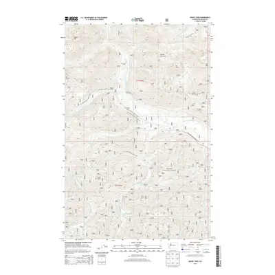
2014 Map of Mount Tebo
USGS Topo · Published 2014About this map
Olympic National Forest dominates this landscape, where the high elevations of the Olympic Mountains are etched by a dense network of river forks and creek drainages. The S Fork Skokomish River and South Fork Skokomish River carve deep valleys through the terrain, joined by smaller tributaries like Steel Cr and Four Stream. Evidence of forest management and back-country access is visible through the system of National Forest Development Roads, such as Natl Forest Develop Road 23 Rd, which provide access to isolated points like Camp Harps Shelter and Church Creek Shelter. High-altitude water bodies including Blue Lake and Spider Lake sit tucked between prominent summits like Mt Tebo, Dry Mtn, and Rock Peak. This topography illustrates the complex hydrology of the eastern Olympics as waters transition from glacial peaks toward the Middle Fork Satsop River and Canyon River systems.
Find a feature on this map
36 named features on this map. Tap any name to fly to it.
Don’t see what you’re looking for? This feature index may not catch every label — zoom into the map to look around manually.
Map Details
Editions of this 2014 Mount Tebo Map
This is the sole edition of this map. No revisions or reprints were ever made.
Other maps of this area
1921 · Satsop
USGS Topo · 1:62,500
1938 · Mt Constance
USGS Topo · 1:125,000
1947 · Mt. Steel
USGS Topo · 1:62,500
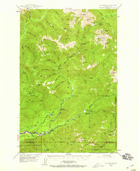
1947 · Mt Christie
USGS Topo · 1:62,500
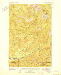
1950 · Mt Christie
USGS Topo · 1:62,500
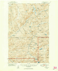
1950 · Mt. Steel
USGS Topo · 1:62,500
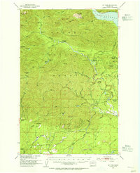
1953 · Mt Tebo
USGS Topo · 1:62,500
1955 · Grisdale
USGS Topo · 1:62,500
1958 · Seattle
USGS Topo · 1:250,000
1962 · Seattle
USGS Topo · 1:250,000