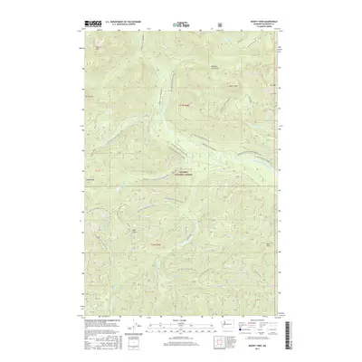
2017 Map of Mount Tebo
USGS Topo · Published 2017About this map
Olympic Mountains peaks and steep river drainages dominate this 2017 survey of the Olympic National Forest in Mason County. The landscape is defined by the high elevations of Mount Tebo, Capitol Peak, and Mt Church, which overlook a complex network of headwaters including the South Fork Skokomish River and the Middle Fork Satsop River. Small mountain bodies of water like Spider Lake and Pine Lake are tucked into the high ridges, accessible via an extensive system of forest roads such as the Natl Forest Develop Road 2370 Rd. The map illustrates a contemporary era of forest management where logging access and recreational points, like the Lower Sf Skokomish Campcomfort, are the primary infrastructure within this protected wilderness area.
Find a feature on this map
55 named features on this map. Tap any name to fly to it.
Don’t see what you’re looking for? This feature index may not catch every label — zoom into the map to look around manually.
Map Details
Editions of this 2017 Mount Tebo Map
This is the sole edition of this map. No revisions or reprints were ever made.
Other maps of this area
1921 · Satsop
USGS Topo · 1:62,500
1938 · Mt Constance
USGS Topo · 1:125,000
1947 · Mt. Steel
USGS Topo · 1:62,500
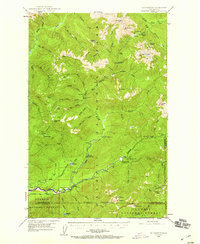
1947 · Mt Christie
USGS Topo · 1:62,500
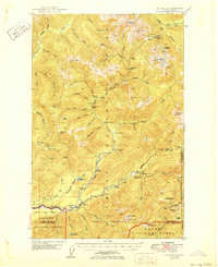
1950 · Mt Christie
USGS Topo · 1:62,500
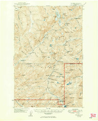
1950 · Mt. Steel
USGS Topo · 1:62,500
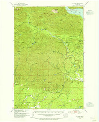
1953 · Mt Tebo
USGS Topo · 1:62,500
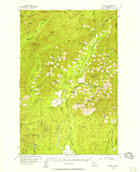
1955 · Grisdale
USGS Topo · 1:62,500
1958 · Seattle
USGS Topo · 1:250,000
1962 · Seattle
USGS Topo · 1:250,000