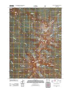
2011 Map of Mount Thielsen
USGS Topo · Published 2011About this map
Mount Thielsen dominates this section of the High Cascades, anchoring a landscape defined by sharp ridges and a network of high-altitude drainages. In 2011, this area within the Oregon Cascades Recreation Area shows a transition from the volcanic peaks to the more sheltered drainage basins below. The terrain is marked by prominent geological features such as Sawtooth Ridge, Hollys Ridge, and Howlock Mountain, which separate the various creek systems including Tipsoo Creek and Thielsen Creek.
Find a feature on this map
18 named features on this map. Tap any name to fly to it.
Don’t see what you’re looking for? This feature index may not catch every label — zoom into the map to look around manually.
Map Details
Editions of this 2011 Mount Thielsen Map
This is the sole edition of this map. No revisions or reprints were ever made.
Other maps of this area

1917 · Diamond Lake
USGS Topo · 1:125,000

1935 · Chemult
USGS Topo · 1:96,000

1941 · Chemult
USGS Topo · 1:125,000

1955 · Crescent
USGS Topo · 1:250,000

1956 · Diamond Lake
USGS Topo · 1:62,500

1956 · Summit Lake
USGS Topo · 1:62,500

1957 · Crescent
USGS Topo · 1:250,000

1958 · Crescent
USGS Topo · 1:250,000

1958 · Roseburg
USGS Topo · 1:250,000

1959 · Roseburg
USGS Topo · 1:250,000