
2014 Map of Mount Thielsen
USGS Topo · Published 2014About this map
Mount Thielsen dominates this high-altitude section of the Cascade Range, where the boundary between the Umpqua National Forest and Winema National Forest follows the crest. This high-country environment is characterized by the permanent ice of Lathrop Glacier and the distinct verticality of Howlock Mtn and Sawtooth Ridge. The Pacific Crest National Scenic Trail winds through the center of the sheet, traversing the ridge-lines that separate the drainage basins of Thielsen Cr, Spruce Cr, and Cottonwood Cr. Geological landmarks like the volcanic Cinnamon Butte in the northwest and Tipsoo Peak further south provide orientation points along the divide. The survey captures a landscape defined by significant topographic relief, where human presence is primarily represented by the trail systems crossing between Douglas and Klamath counties.
Find a feature on this map
25 named features on this map. Tap any name to fly to it.
Don’t see what you’re looking for? This feature index may not catch every label — zoom into the map to look around manually.
Map Details
Editions of this 2014 Mount Thielsen Map
This is the sole edition of this map. No revisions or reprints were ever made.
Other maps of this area
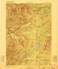
1917 · Diamond Lake
USGS Topo · 1:125,000
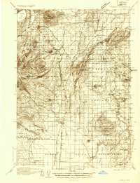
1935 · Chemult
USGS Topo · 1:96,000
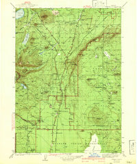
1941 · Chemult
USGS Topo · 1:125,000

1955 · Crescent
USGS Topo · 1:250,000
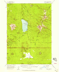
1956 · Diamond Lake
USGS Topo · 1:62,500
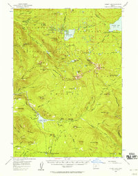
1956 · Summit Lake
USGS Topo · 1:62,500

1957 · Crescent
USGS Topo · 1:250,000

1958 · Crescent
USGS Topo · 1:250,000

1958 · Roseburg
USGS Topo · 1:250,000

1959 · Roseburg
USGS Topo · 1:250,000