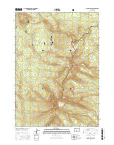
2017 Map of Mount Thielsen
USGS Topo · Published 2017About this map
Mount Thielsen towers over the high divide of the Cascade Range on this 2017 study, where the boundary between Douglas County and Klamath County follows the crest of the mountains. This high-elevation landscape is defined by the Pacific Crest National Scenic Trail, which winds northward through the Umpqua National Forest and Winema National Forest. The map illustrates a complex drainage system radiating from the central peaks, with headwaters for Thielsen Cr and Howlock Cr cutting deep into the volcanic slopes.
Find a feature on this map
26 named features on this map. Tap any name to fly to it.
Don’t see what you’re looking for? This feature index may not catch every label — zoom into the map to look around manually.
Map Details
Editions of this 2017 Mount Thielsen Map
This is the sole edition of this map. No revisions or reprints were ever made.
Other maps of this area
1917 · Diamond Lake
USGS Topo · 1:125,000
1935 · Chemult
USGS Topo · 1:96,000
1941 · Chemult
USGS Topo · 1:125,000

1955 · Crescent
USGS Topo · 1:250,000
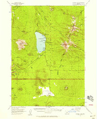
1956 · Diamond Lake
USGS Topo · 1:62,500
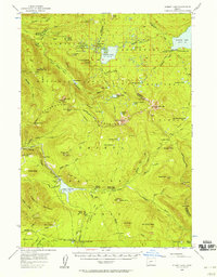
1956 · Summit Lake
USGS Topo · 1:62,500

1957 · Crescent
USGS Topo · 1:250,000

1958 · Crescent
USGS Topo · 1:250,000

1958 · Roseburg
USGS Topo · 1:250,000

1959 · Roseburg
USGS Topo · 1:250,000