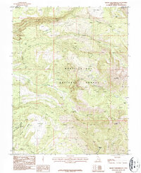
1987 Map of Mount Tukuhnikivatz
USGS Topo · Published 1987About this map
La Sal Mountains topography dominates this 1987 survey, centered on the prominent peak of Mount Tukuhnikivatz. The landscape is a complex network of high mesas and deep drainages, including Boren Mesa and South Mesa, carved by watercourses like Mill Creek and Brumley Creek. The elevation shifts from the lower Slaughter Flats and Black Ridge in the west toward the high alpine terrain of the Manti-La Sal National Forest in the east.
Find a feature on this map
26 named features on this map. Tap any name to fly to it.
Don’t see what you’re looking for? This feature index may not catch every label — zoom into the map to look around manually.
Map Details
Editions of this 1987 Mount Tukuhnikivatz Map
2 editions found
Other maps of this area

1885 · La Sal
USGS Topo · 1:250,000

1954 · Mt. Waas 4 SW
USGS Topo · 1:24,000

1954 · Mt Peale 1 SW
USGS Topo · 1:24,000

1954 · Mt Peale 1 NW
USGS Topo · 1:24,000

1954 · Mt Peale 2 SW
USGS Topo · 1:24,000

1954 · Mt Peale 2 NW
USGS Topo · 1:24,000

1954 · Mt Peale 2 SE
USGS Topo · 1:24,000

1954 · Mt. Waas 3 SE
USGS Topo · 1:24,000

1954 · Mt Peale 2 NE
USGS Topo · 1:24,000

1954 · Mt. Waas 3 SW
USGS Topo · 1:24,000