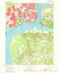
1966 Map of Mount Vernon
USGS Topo · Published 1971About this map
Mount Vernon and its historic surroundings dominate this Potomac riverfront survey, showcasing the Virginia and Maryland shorelines during a period of significant suburban expansion. On the Virginia side, the estate and its Tomb are bordered by the developing neighborhoods of Hybla Valley, Riverside Estates, and Stratford on the Potomac. The map documents the preserved grounds of Fort Hunt National Park and Fort Washington National Park, which stand as sentinels at the mouth of Piscataway Creek. Across the river in Maryland, the landscape transitions from the developed Broadwater Estates to the more rural, wooded terrain of Accokeek. Cultural landmarks like the Amusement Park at Marshall Hall and historic houses of worship such as Harmony Hall and Macedonia Ch reveal the deep layers of social and recreational history along these tidal reaches.
Find a feature on this map
102 named features on this map. Tap any name to fly to it.
Don’t see what you’re looking for? This feature index may not catch every label — zoom into the map to look around manually.
Map Details
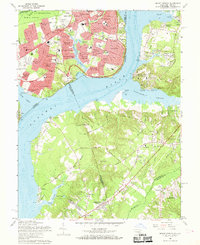
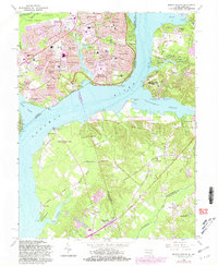
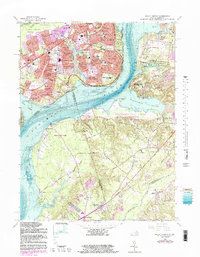
Editions of this 1966 Mount Vernon Map
4 editions found
Other maps of this area

1890 · Mt. Vernon
USGS Topo · 1:125,000

1891 · Mt. Vernon
USGS Topo · 1:125,000

1892 · Brandywine
USGS Topo · 1:62,500

1894 · Mt. Vernon
USGS Topo · 1:125,000

1895 · Brandywine
USGS Topo · 1:62,500

1897 · Mt. Vernon
USGS Topo · 1:125,000

1899 · Patuxent
USGS Topo · 1:125,000

1900 · Washington
USGS Topo · 1:62,500

1906 · Patuxent
USGS Topo · 1:125,000

1911 · Brandywine
USGS Topo · 1:62,500