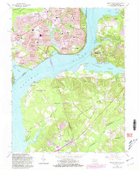
1966 Map of Mount Vernon
USGS Topo · Published 1981About this map
The Potomac River divides this landscape into two distinct worlds, where the Virginia shoreline is defined by the estate of Mount Vernon and the burgeoning suburban neighborhoods of Hybla Valley and Gum Springs. During this mid-1960s period, the area exhibits a dense network of residential developments like Stratford Landing and Riverside Estates, while the Maryland side remains notably more rural. This contrast is visible along the Piscataway Creek, where Fort Washington Historical Park stands opposite the wooded reaches of Hedge Neck.
Find a feature on this map
129 named features on this map. Tap any name to fly to it.
Don’t see what you’re looking for? This feature index may not catch every label — zoom into the map to look around manually.
Map Details
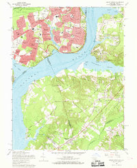
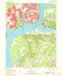
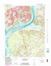
Editions of this 1966 Mount Vernon Map
4 editions found
Other maps of this area

1890 · Mt. Vernon
USGS Topo · 1:125,000

1891 · Mt. Vernon
USGS Topo · 1:125,000

1892 · Brandywine
USGS Topo · 1:62,500

1894 · Mt. Vernon
USGS Topo · 1:125,000

1895 · Brandywine
USGS Topo · 1:62,500

1897 · Mt. Vernon
USGS Topo · 1:125,000

1899 · Patuxent
USGS Topo · 1:125,000

1900 · Washington
USGS Topo · 1:62,500

1906 · Patuxent
USGS Topo · 1:125,000

1911 · Brandywine
USGS Topo · 1:62,500