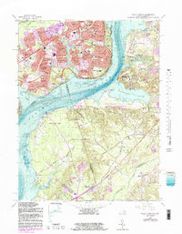
1966 Map of Mount Vernon
USGS Topo · Published 1983About this map
Marshall Hall and the banks of the Potomac River define this map, showing the suburban expansion of Virginia and the rural preservation of Maryland in the mid-1960s. The Virginia side is marked by dense residential growth in named neighborhoods like Hybla Valley, Stratford Landing, and Newton Woods, interspersed with established institutions such as Woodlawn Manor and St Lukes Ch. Across the water, the landscape remains notably different, characterized by the expansive Piscataway Park and The National Colonial Farm. This contrast illustrates the early efforts to preserve the viewshed of the river corridor. Cultural markers like Emmanuel Ch and Bethlehem Ch are visible alongside modern infrastructure like the U.S. Coast Guard Radio Station and the Federal Communication Center, highlighting the area's mix of local history and federal presence.
Find a feature on this map
106 named features on this map. Tap any name to fly to it.
Don’t see what you’re looking for? This feature index may not catch every label — zoom into the map to look around manually.
Map Details
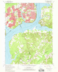
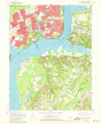
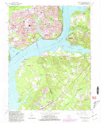
Editions of this 1966 Mount Vernon Map
4 editions found
Other maps of this area

1890 · Mt. Vernon
USGS Topo · 1:125,000

1891 · Mt. Vernon
USGS Topo · 1:125,000

1892 · Brandywine
USGS Topo · 1:62,500

1894 · Mt. Vernon
USGS Topo · 1:125,000

1895 · Brandywine
USGS Topo · 1:62,500

1897 · Mt. Vernon
USGS Topo · 1:125,000

1899 · Patuxent
USGS Topo · 1:125,000

1900 · Washington
USGS Topo · 1:62,500

1906 · Patuxent
USGS Topo · 1:125,000

1911 · Brandywine
USGS Topo · 1:62,500