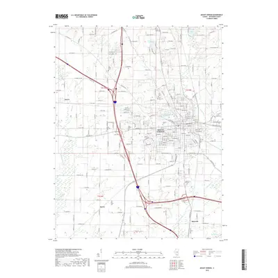
2018 Map of Mount Vernon
USGS Topo · Published 2018About this map
Mount Vernon serves as the central hub of this 2018 survey, where the convergence of major interstate corridors meets a landscape deeply rooted in its local heritage. The city's growth is framed by significant water features such as the Louisville and Nashville Reservoir and the winding course of Casey Fork. For genealogists, the map is remarkably dense with burial grounds, ranging from the central Oakwood Cem to the outlying Wolf Prairie Cem and the adjacent Old Shiloh Cem and New Shiloh Cem.
Find a feature on this map
118 named features on this map. Tap any name to fly to it.
Don’t see what you’re looking for? This feature index may not catch every label — zoom into the map to look around manually.
Map Details
Editions of this 2018 Mount Vernon Map
This is the sole edition of this map. No revisions or reprints were ever made.
Other maps of this area

1926 · Duquoin
USGS Topo · 1:62,500

1933 · Mount Vernon
USGS Topo · 1:48,000

1939 · Ina
USGS Topo · 1:62,500

1940 · Mount Vernon
USGS Topo · 1:62,500

1943 · Ina
USGS Topo · 1:62,500

1943 · Ashley
USGS Topo · 1:62,500

1946 · Ashley
USGS Topo · 1:62,500

1958 · Belleville
USGS Topo · 1:250,000

1962 · Belleville
USGS Topo · 1:250,000

1964 · Opdyke
USGS Topo · 1:24,000
Featured Places
- Mount Vernon, IL
- Drivers, IL
- Webster Hill Estates, Mount Vernon
- Morganville, Mount Vernon
- Bakerville, IL