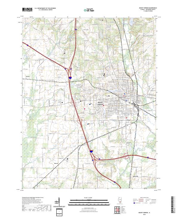
2024 Map of Mount Vernon
USGS Topo · Published 2024About this map
Mount Vernon serves as the focal point of this Jefferson County landscape, where the Jefferson County Courthouse stands at the heart of the municipal grid. The region's history is deeply etched into its geography through a dense collection of burial grounds, ranging from the central Oakwood Cem to outlying sites like Old Shiloh Cem and Wolf Prairie Cem. This concentration of cemeteries provides significant genealogical data for researchers tracing early area families. Water management and recreation are central themes, evidenced by the Louisville and Nashville Reservoir and Lake Jaycee. The map captures the transition from the organized streets of the city to smaller outlying settlements such as Drivers, Marcoe, and Bakerville, all set against a backdrop of drainage systems like Casey Fork and the Big Muddy River.
Find a feature on this map
90 named features on this map. Tap any name to fly to it.
Don’t see what you’re looking for? This feature index may not catch every label — zoom into the map to look around manually.
Map Details
Editions of this 2024 Mount Vernon Map
This is the sole edition of this map. No revisions or reprints were ever made.
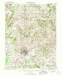
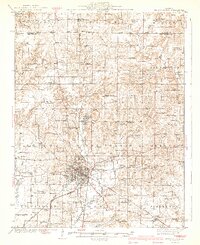
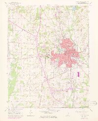
Historical Maps of Morganville Through Time
4 maps found
Featured Locations
- Bakerville, IL
- Mount Vernon, IL
- Drivers, IL
- Morganville, Mount Vernon
- Webster Hill Estates, Mount Vernon