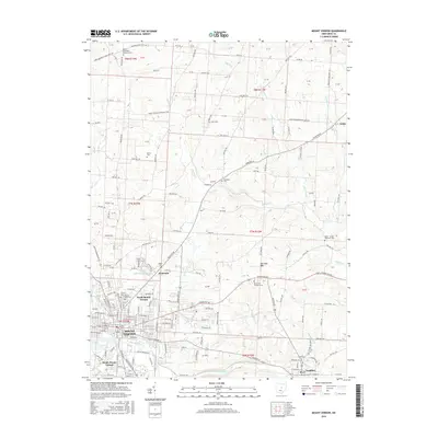
2016 Map of Mount Vernon
USGS Topo · Published 2016About this map
The Kokosing River forms the southern boundary of this Knox County landscape, winding past South Mount Vernon and the educational grounds of Gambier. The city of Mount Vernon serves as the central hub, surrounded by a dense network of suburban and rural communities including North Mount Vernon, Academia, and Amity. This survey reveals a high concentration of memorial sites and family burying grounds, such as Mound View Cem and the Berlin Methodist Episcopal Cem, which are essential for genealogical research in the region.
Find a feature on this map
169 named features on this map. Tap any name to fly to it.
Don’t see what you’re looking for? This feature index may not catch every label — zoom into the map to look around manually.
Map Details
Editions of this 2016 Mount Vernon Map
This is the sole edition of this map. No revisions or reprints were ever made.
Other maps of this area

1912 · Gambier
USGS Topo · 1:62,500

1912 · Perrysville
USGS Topo · 1:62,500

1914 · Gambier
USGS Topo · 1:62,500

1915 · Perrysville
USGS Topo · 1:62,500

1915 · Shauck
USGS Topo · 1:62,500

1915 · Fredericktown
USGS Topo · 1:62,500

1943 · Shauck
USGS Topo · 1:62,500

1943 · Gambier
USGS Topo · 1:62,500

1943 · Fredericktown
USGS Topo · 1:62,500

1944 · Perrysville
USGS Topo · 1:62,500