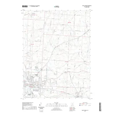
2019 Map of Mount Vernon
USGS Topo · Published 2019About this map
The Kokosing River forms the southern backbone of this region, winding past the village of Gambier and through the heart of Mount Vernon. As the seat of Knox County, Mount Vernon is anchored by the Knox County Courthouse and radiates into residential and commercial districts, including North Mount Vernon and South Mount Vernon. The surrounding landscape is defined by its agricultural and small-settlement character, with small communities like Academia and Amity situated along historic thoroughfares such as Wooster Rd and Coshocton Rd.
Find a feature on this map
103 named features on this map. Tap any name to fly to it.
Don’t see what you’re looking for? This feature index may not catch every label — zoom into the map to look around manually.
Map Details
Editions of this 2019 Mount Vernon Map
This is the sole edition of this map. No revisions or reprints were ever made.
Other maps of this area

1912 · Gambier
USGS Topo · 1:62,500
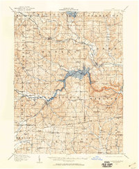
1912 · Perrysville
USGS Topo · 1:62,500

1914 · Gambier
USGS Topo · 1:62,500
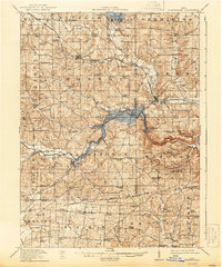
1915 · Perrysville
USGS Topo · 1:62,500
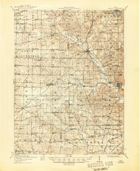
1915 · Shauck
USGS Topo · 1:62,500
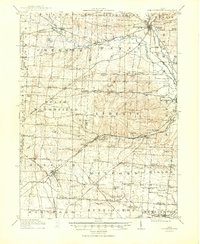
1915 · Fredericktown
USGS Topo · 1:62,500
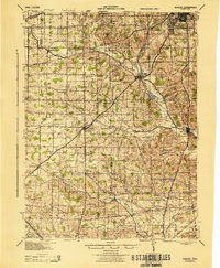
1943 · Shauck
USGS Topo · 1:62,500
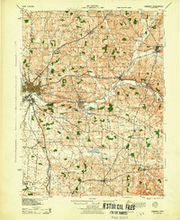
1943 · Gambier
USGS Topo · 1:62,500
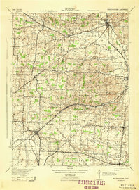
1943 · Fredericktown
USGS Topo · 1:62,500
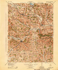
1944 · Perrysville
USGS Topo · 1:62,500