2023 Map of Mount Vernon
USGS Topo · Published 2023About this map
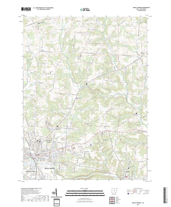
The Knox County Courthouse serves as the focal point of a sprawling municipal area that transitions from the dense street grids of Mount Vernon to the surrounding hills and river valleys. The landscape is defined by the Kokosing River, which meanders past South Mount Vernon and the academic grounds of Gambier, where Gambier Hill overlooks the water. Smaller settlements like Academia and Amity dot the northern reaches, connected by a network of rural roads such as the Fredericktown Amity Rd.
Find a feature on this map
158 named features on this map. Tap any name to fly to it.
Don’t see what you’re looking for? This feature index may not catch every label — zoom into the map to look around manually.
Map Details
Editions of this 2023 Mount Vernon Map
This is the sole edition of this map. No revisions or reprints were ever made.
Historical Maps of Vaughan Court Through Time
1 maps found